Monsal Trail Out & Back From Wyedale
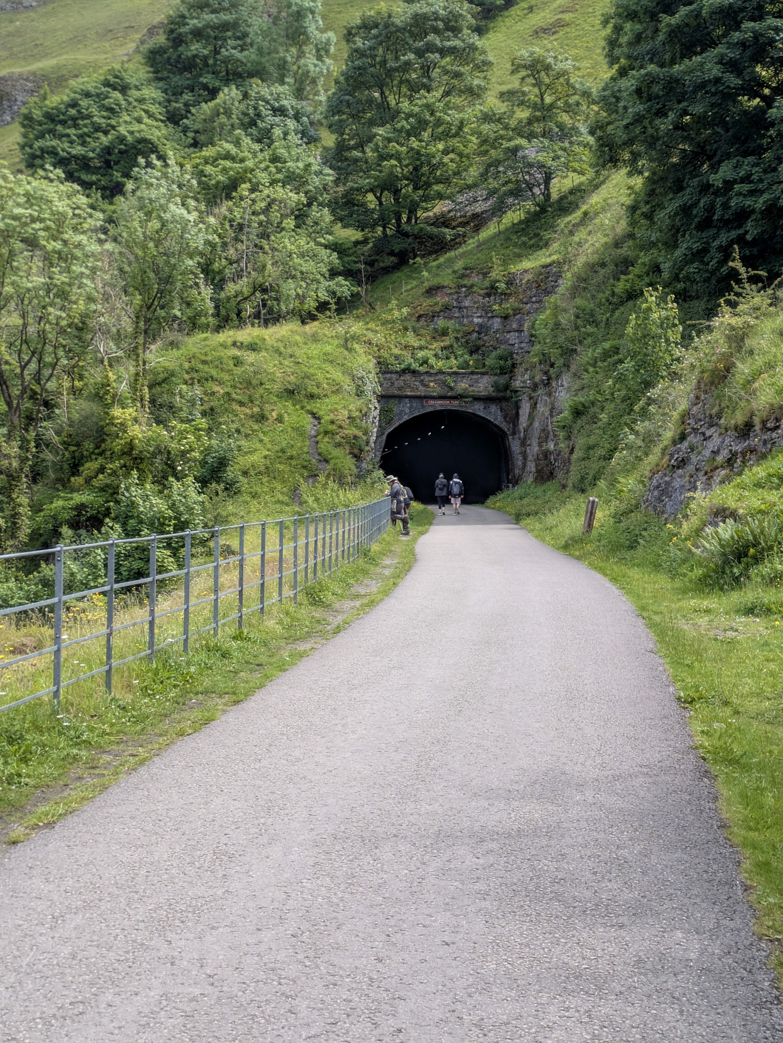
Stretching 8.5 miles through tunnels and over viaducts, the Monsal Trail is a former Victorian railway line that runs from Chee Dale (near Buxton) through to Bakewell.
Today, it’s one of the most iconic out-and-back trails in the Peak District, enjoyed by walkers, runners, cyclists, and horse riders.
While you’re on the trail you’ll come across some of the old train stations. Most of these have car parks and make for great starting points for shorter walks. Some even have facilities like toilets and places to grab a bite to eat. See Hassop and Millers Dale stations.
This article will guide you through completing the trail end-to-end, starting from Wyedale car park.
Preface
If you’re planning to do the entire Monsal Trail end-to-end, you’re going to be starting from either the Buxton or Bakewell end.
When starting from the Buxton end, you have the choice of Wyedale car park or Chee Dale layby. More details on these two further down.
If you are starting from Bakewell your only option is to start from Coombs Road.
Keep in mind, these starts are if you want to complete the entire Monsal Trail from start to finish. Hassop, Millers Dale, and Bakewell stations have their own car parks and serve as alternative starting points for shorter walks.
A Quick Heads-up for Beginner Cyclists
If you’re an experienced rider feel free to skip ahead as this will likely not bother you in the slightest, but if you’re more of a casual like me, let’s talk elevation for a second…
On the surface, the trail looks flat, but it actually has a very subtle 1-3% downward gradient from Buxton towards Bakewell – so subtle, in fact, that you barely notice it while you’re riding.
It’s only when you turn around at Bakewell that you start second-guessing yourself and thinking, “Hang on… am I just tired or was it actually like this the whole time?” No, you aren’t going crazy. You are in fact riding ever so slightly uphill for most of the 8 miles on your return journey from Bakewell. Just something to keep in mind when choosing where to start from!
The Buxton Start
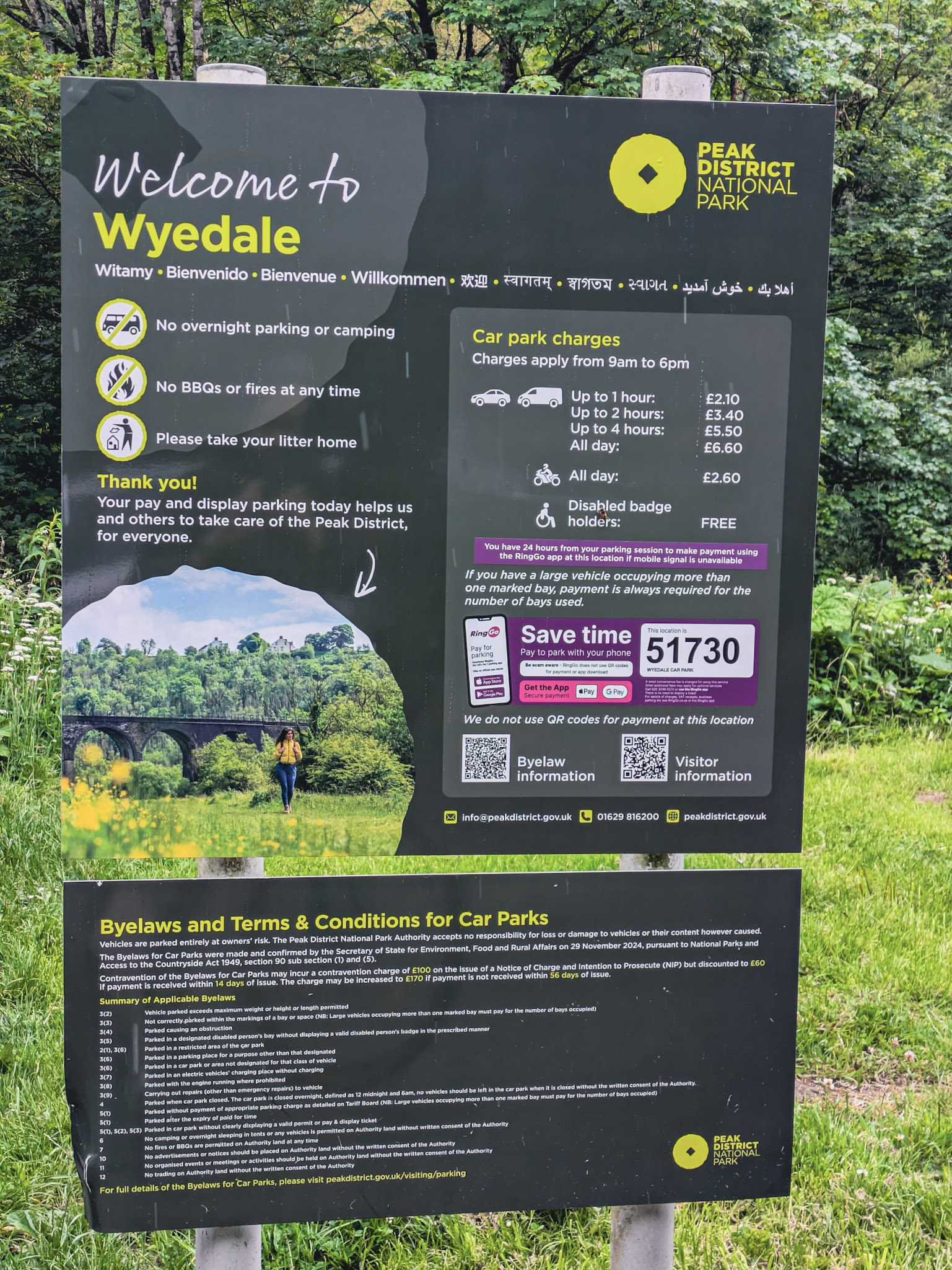
Wyedale Car Park (Pay and Display)
Wyedale car park is, in my opinion, the best place to start from the Buxton end. It gets very busy on the weekends however.
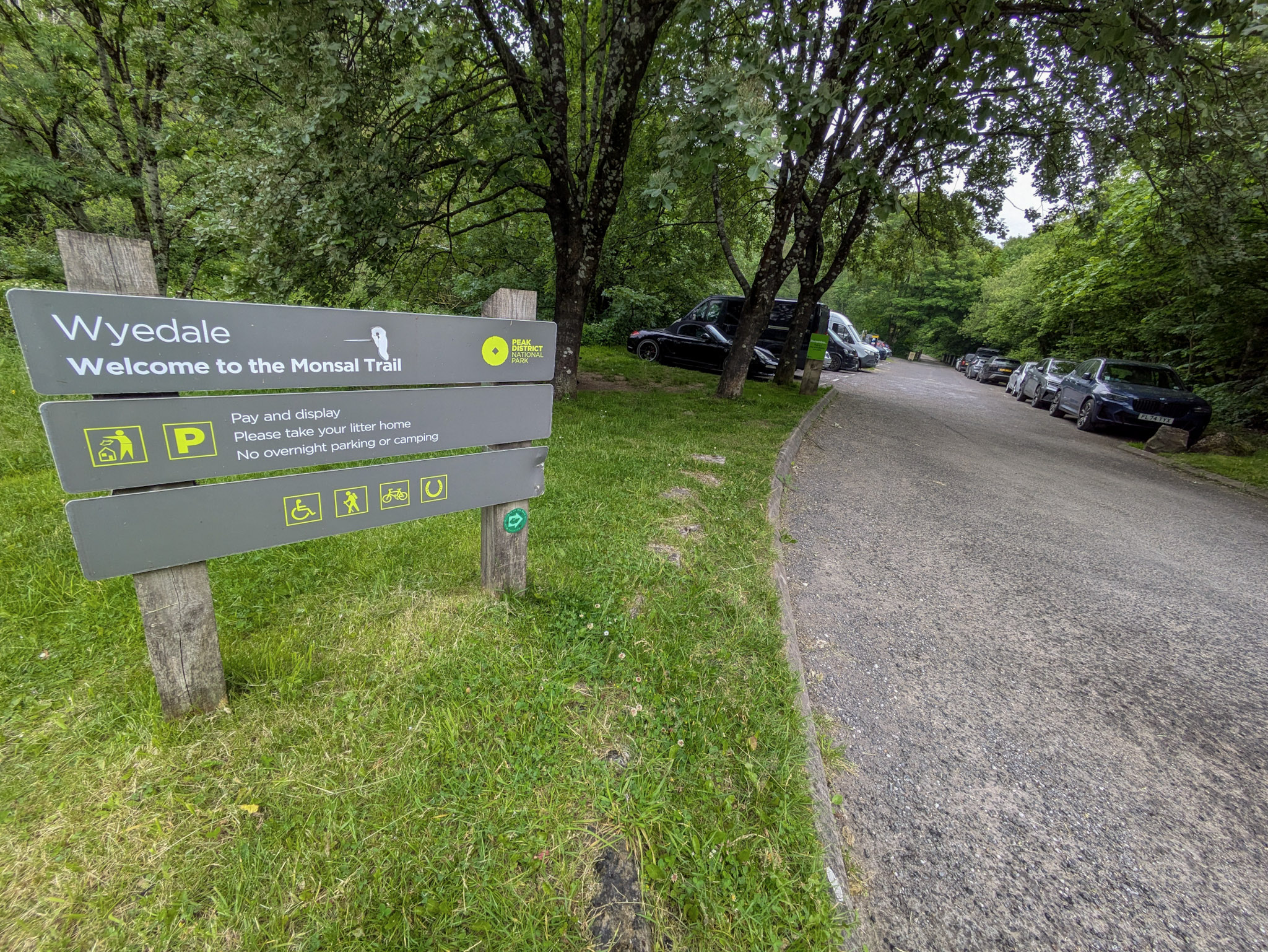
There are two bus stops (on either side of the road) directly outside the car park, making it easily accessible from Buxton and Bakewell.
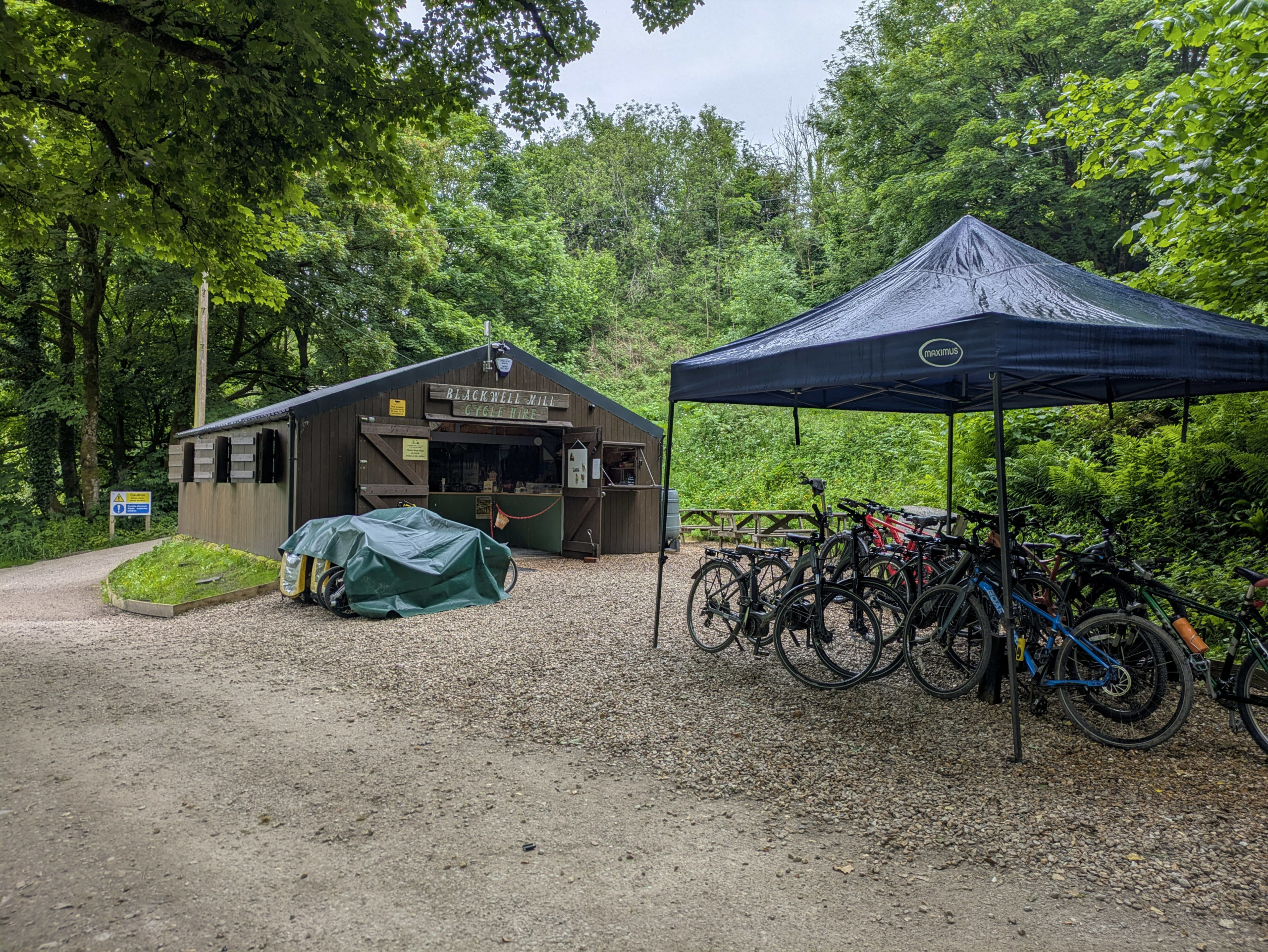
If you plan to cycle the trail and need to hire a bike, starting from Wyedale is probably your best bet. I say this because there is a bike hire place right at the start of the trail, about half a mile from the car park: https://www.peakblackwellcyclehire.com.
Location
Postcode: A6, Buxton SK17 9TE
what3words: general.indoors.drizzly
Chee Dale Layby (Free)
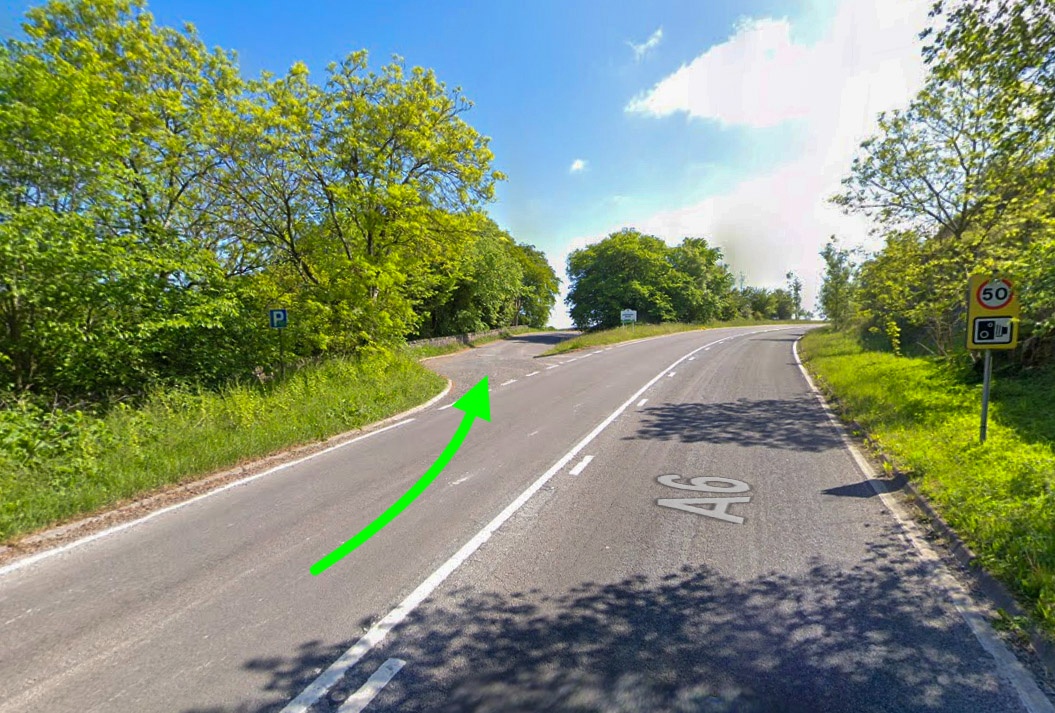
Chee Dale Layby is about 0.5 miles further up the A6 towards Bakewell, on your left-hand side if driving from Buxton.
Location
Postcode: Buxton SK17 8TD
what3words: flippers.scary.chair
There are no public transport routes directly to the layby, so this is one for drivers only.
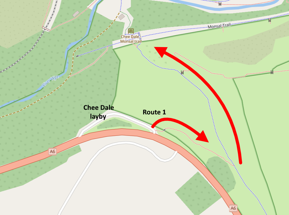
From the layby, you have two routes down to the Monsal Trail.
The first route is right at the top of the layby. There’s a stile that goes over the wall and leads down to join onto the blue public footpath (see images below), which takes you down to the trail.
The second route takes the blue public footpath directly from the start but does involve walking a few hundred yards up the road on the A6 until you see a gate on your left.
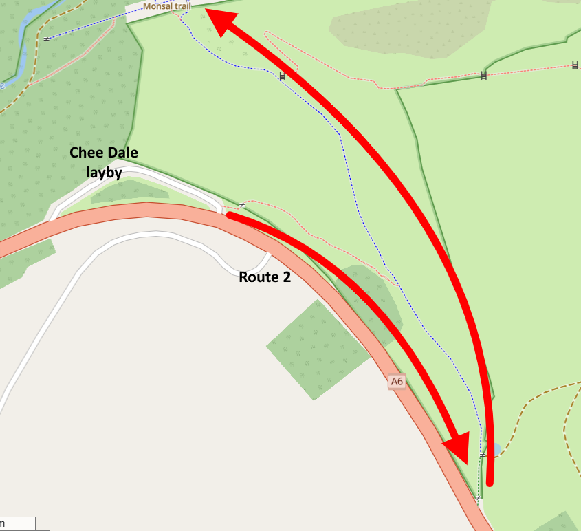
If you are cycling and have chosen to start from the Chee Dale layby, you will need to ride about half a mile down to Wye Dale car park and start from there as it’s only footpaths from the layby.
The Bakewell Start
Coombs Road
If you are starting from Bakewell, you’ll want to make your way to Coombs Road. This is only a short walk from the center of Bakewell.
The start of Coombs Road is just on your right once you cross over the Bakewell Bridge. The path to the Monsal Trail is about half a mile up the road on your left.
Location
Postcode: Bakewell, DE45 1AR
what3words: muffin.treatable.chest
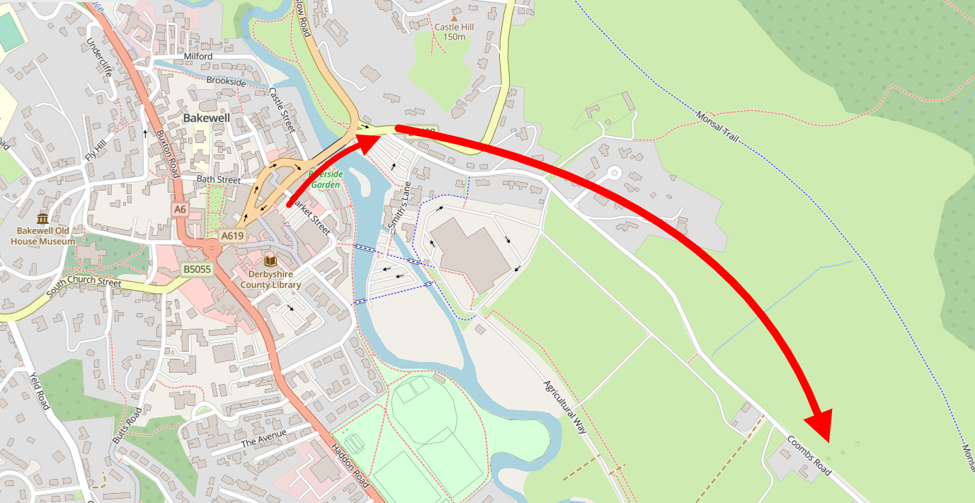
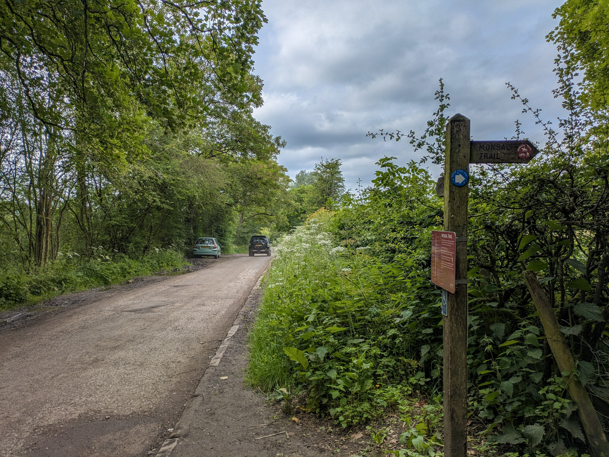
There are plenty of places to park along Coombs Road, making it a practical option if you’re driving. It’s also worth considering as a free place to park when visiting Bakewell in general, as the options in the town have gotten quite pricey over the years.
Now that we’ve covered the starting points, let’s take a look at what you can expect along the trail itself. For consistency, I’ll describe the route from Wyedale through to Bakewell, but you can always follow it in reverse if you’re starting from the other end.
Leaving Wyedale & Entering the Trail
Before you even start the Monsal Trail, you’re going to need to walk to it from Wyedale car park, and in my opinion, the walk begins right here.
The road noise from the A6 begins to fade, and it’s replaced with birdsong and the sound of water rushing along the river Wye to your left.
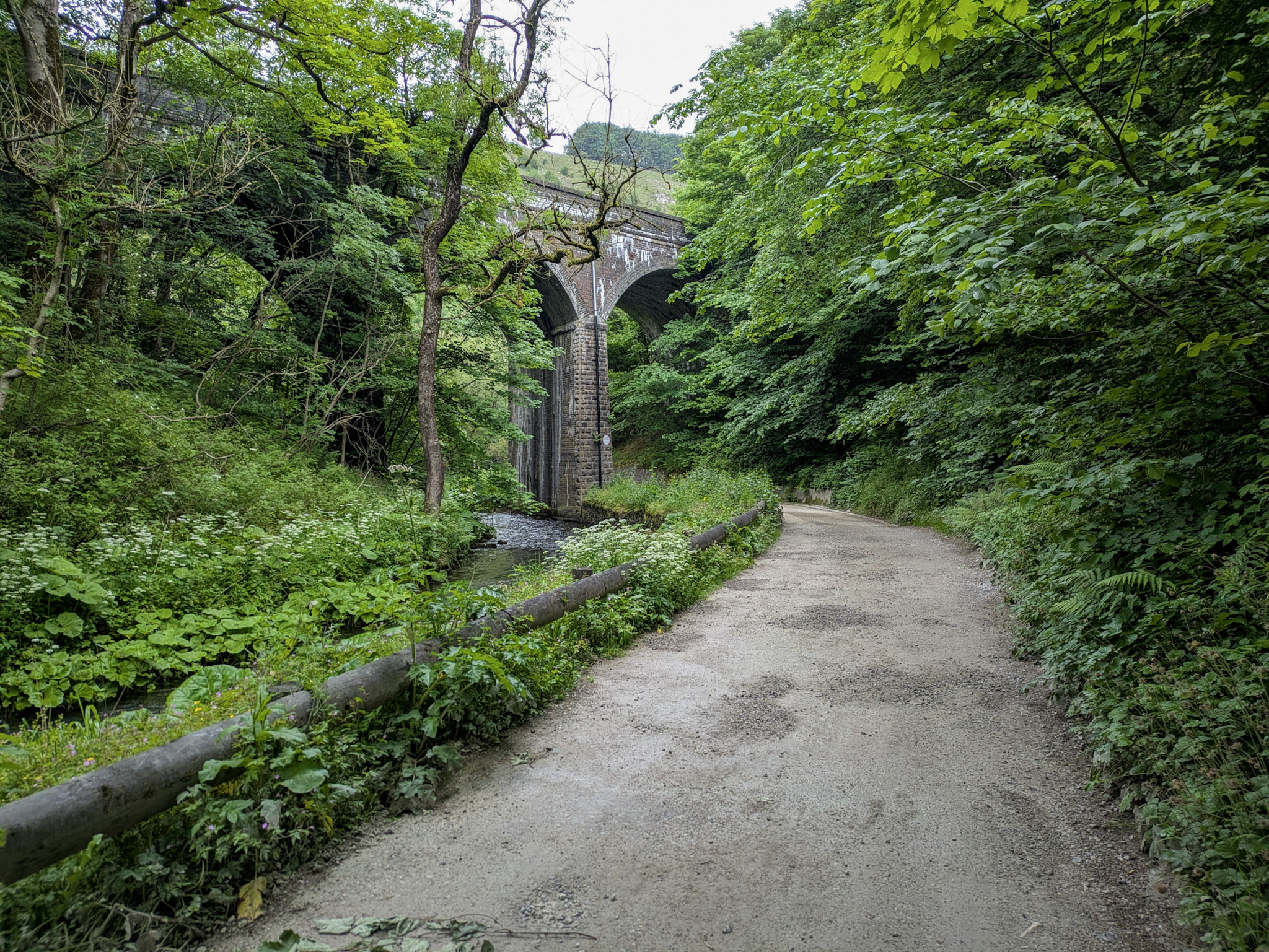
As you make your way further along, you’ll come to the Blackwell Mill cycle hire shed, and then a very short but steep ascent up to a bit of a fork. You’ll want to go straight on, through the gate ahead of you.
The moment you pass through the gate, you are officially on the Monsal Trail!
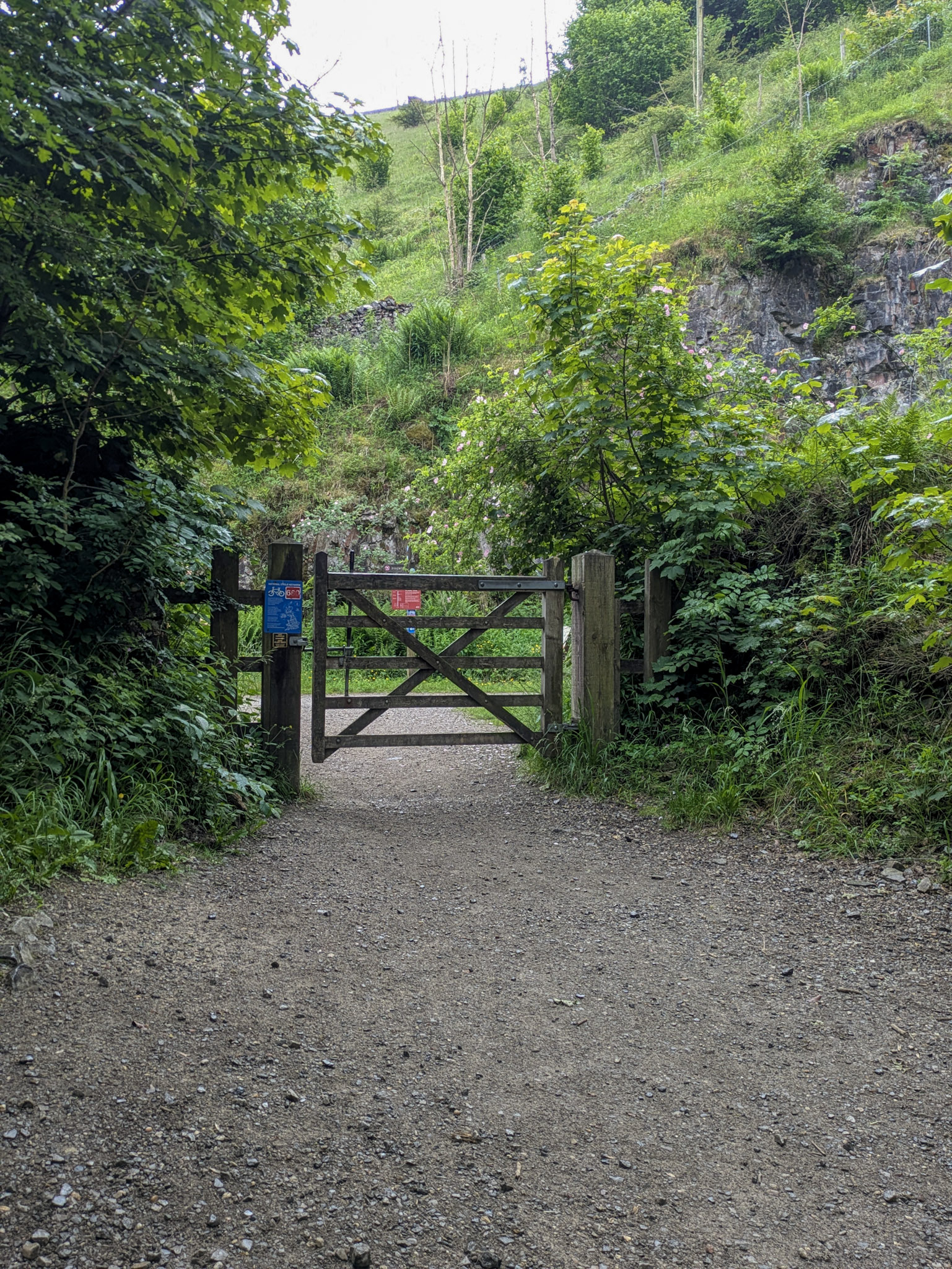
The first thing you’ll notice is how everything opens up. You’ve got greenery on either side of you, and just a little bit further down, you’ll see some of the limestone cliffs on your right.
The Tunnels
About 0.5 miles into your walk from the start of the trail, you’ll come across Rusher Cutting tunnel. Your first tunnel! Granted, a very short one, but still a tunnel nonetheless!
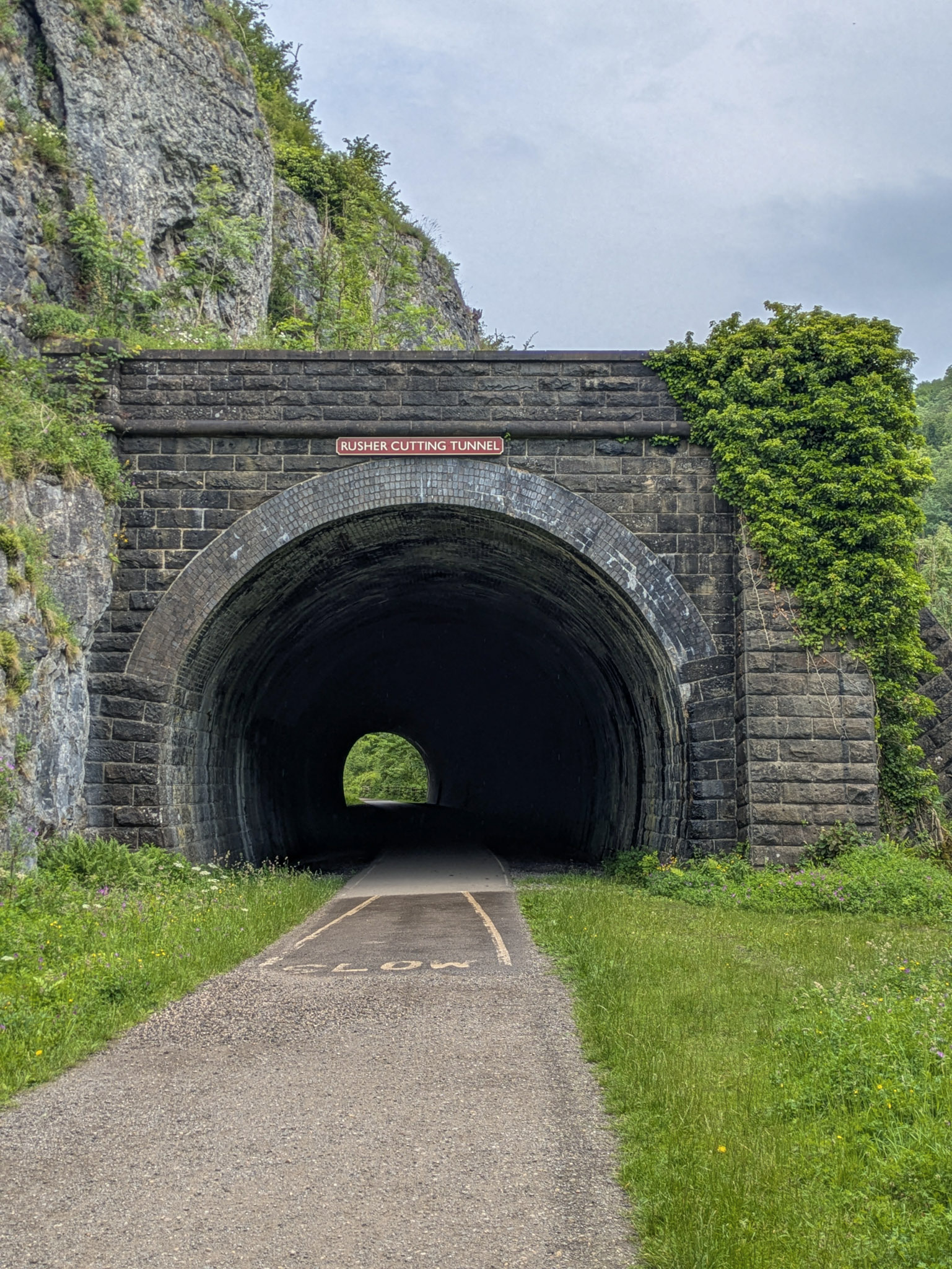
These tunnels were carved out in the 1860s, and the engineers at the time would have blasted them out by hand through the solid limestone rocks. So I guess you could say you are literally walking through a blast from the past (sorry, I’ll show myself out).
There are 6 tunnels in total on the trail, 2 very short ones near the start, and then the rest are “proper” tunnels. What makes a proper tunnel, I hear you ask? Well, keep on reading, and you’ll see…
Very soon after your two short tunnels (Rusher Cutting and Chee Tor No. 2), you’re going to come across Chee Tor tunnel (No. 1).
As tunnels go on the trail, this is probably about as “proper” as they get. Echoey, cold and damp for nearly 400m, with water dripping from the roof. Once you enter the tunnel, you’ll notice a massive drop in temperature, which is probably just what you need on a scorcher of a summer’s day.
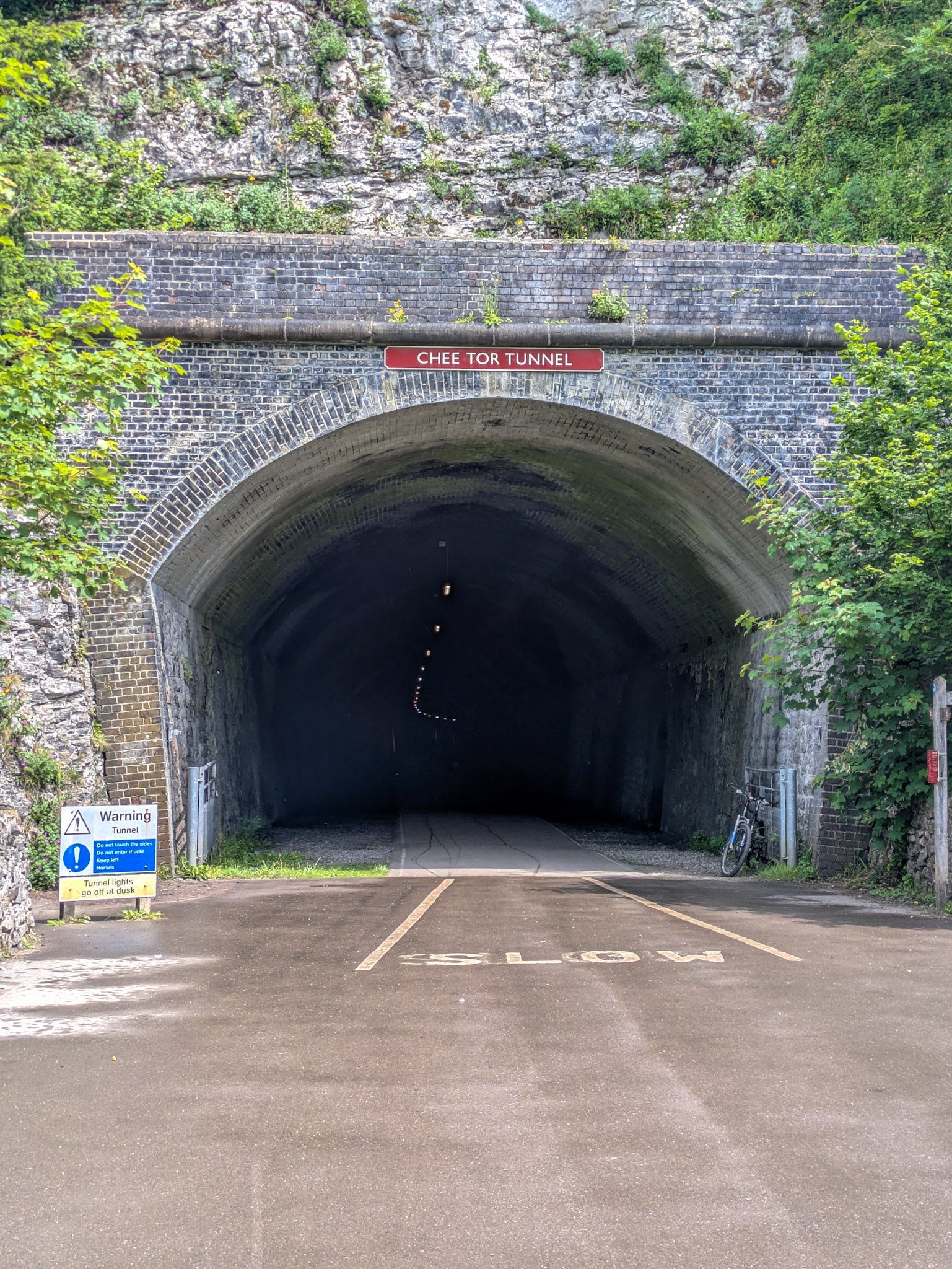
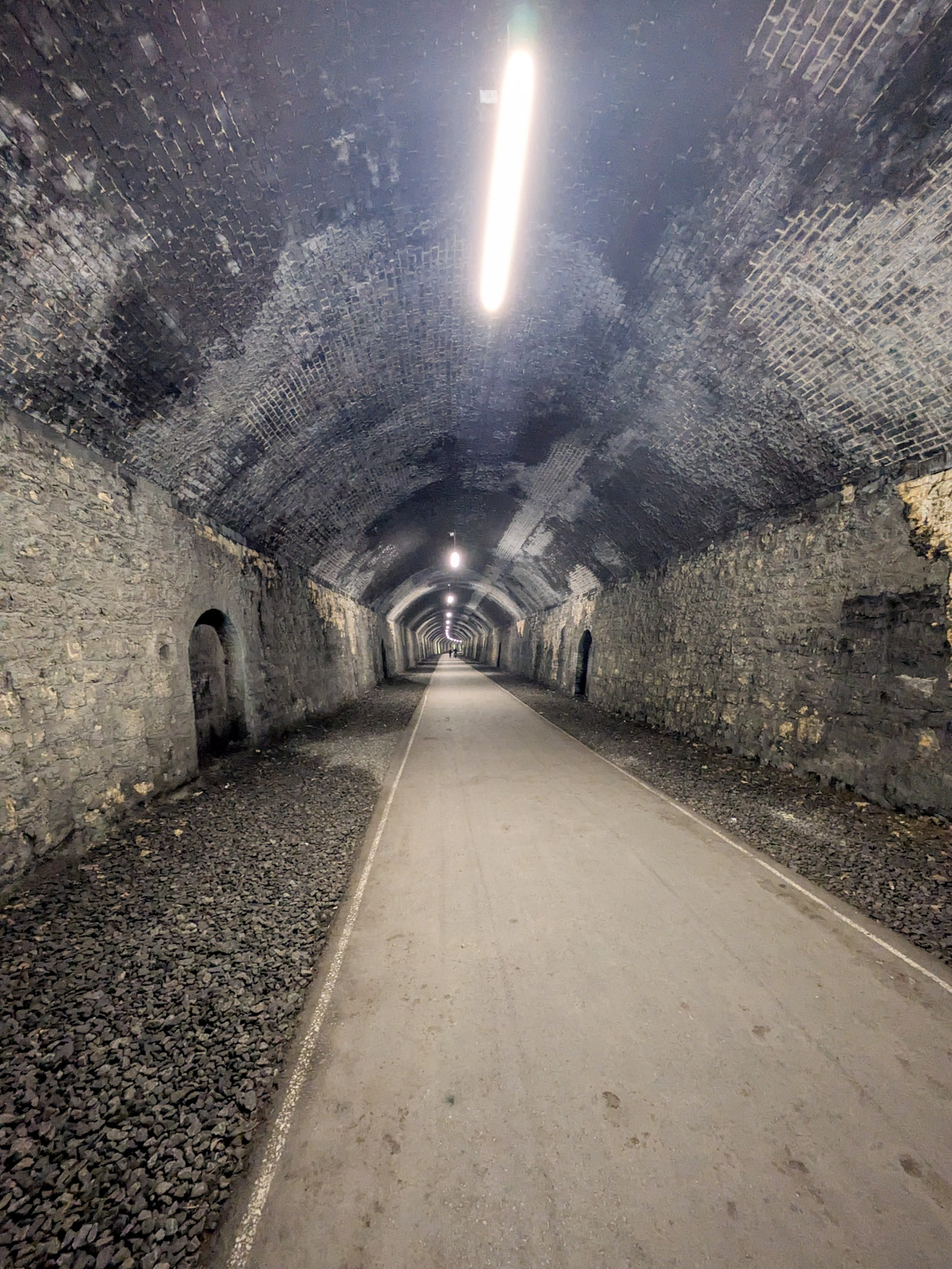
The lights in the tunnels go off at dusk, and I couldn’t help but imagine how disorientating it would be if you were caught in the middle of one with no lights after dark (maybe bring a torch if you’re planning to be out late).
Anyway, I won’t go on about all the other tunnels here. I’ll let you experience them for yourself. The rest of them are of similar scale to this one though, or even slightly bigger.
Millers Dale Bridge
Not long out of the Chee Tor tunnel is Millers Dale Bridge. It’s a very popular bridge for abseiling. Keep to the right if you do come across abseilers on the day (it’s all marked out on the floor, so no need to remember this).
The bridge itself is, well, it’s just a bridge, really. It stretches over the river Wye. If I recall, the views were decent – but I could just be making that up, as apparently I didn’t stop to take any pictures of it. Wait until you get to the Headstone Viaduct later on, now THAT’S a bridge.

Millers Dale Station
As you approach mile 2, you’re going to come across Millers Dale Station. It’s one of the two main rest points on the trail, the other being Hassop Station.
It’s definitely worth stopping here, even just for a mooch. It has public toilets, but they’re 50p to use (boo 👎). The ones at Hassop station are free, but they’re 5 miles further down the trail, so it might be worth taking the 50p hit if you’re bursting.
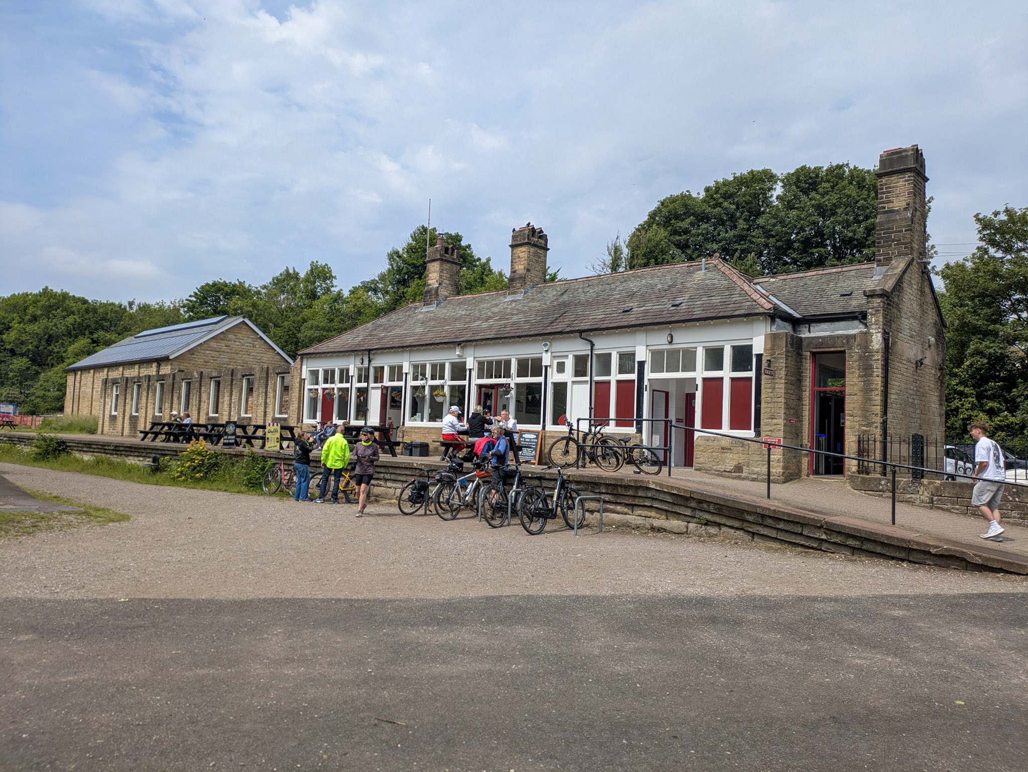
There’s a car park here (pay and display) and a bunch of Sheffield Stands where you can leave your bike if you’re cycling.
Inside the station itself is The Refreshment Room. It’s a really nice little cafe, and they’ve got a wide range of food and drinks on sale. From cakes and sweet treats to hot food such as toasted paninis and jacket potatoes.
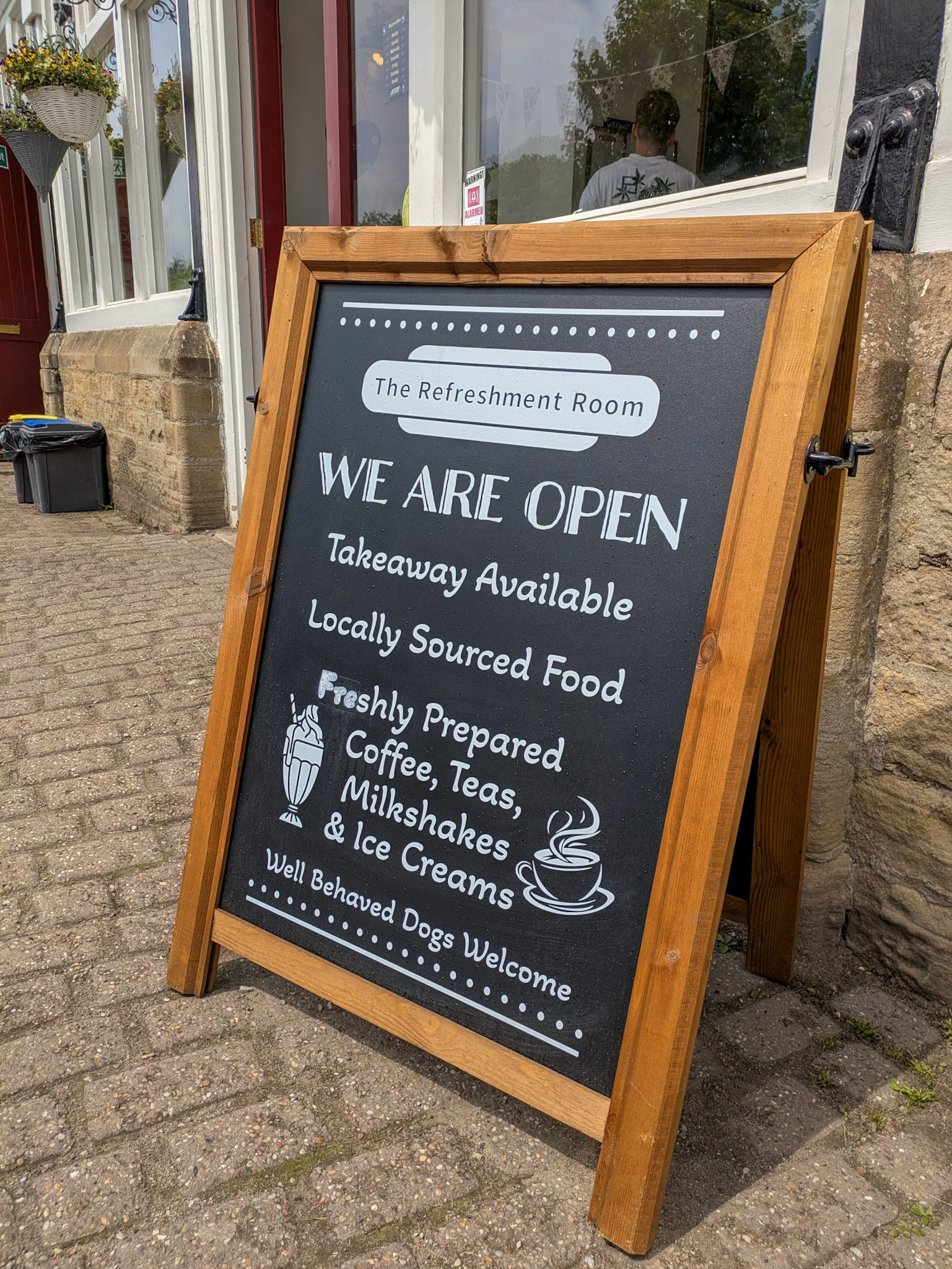
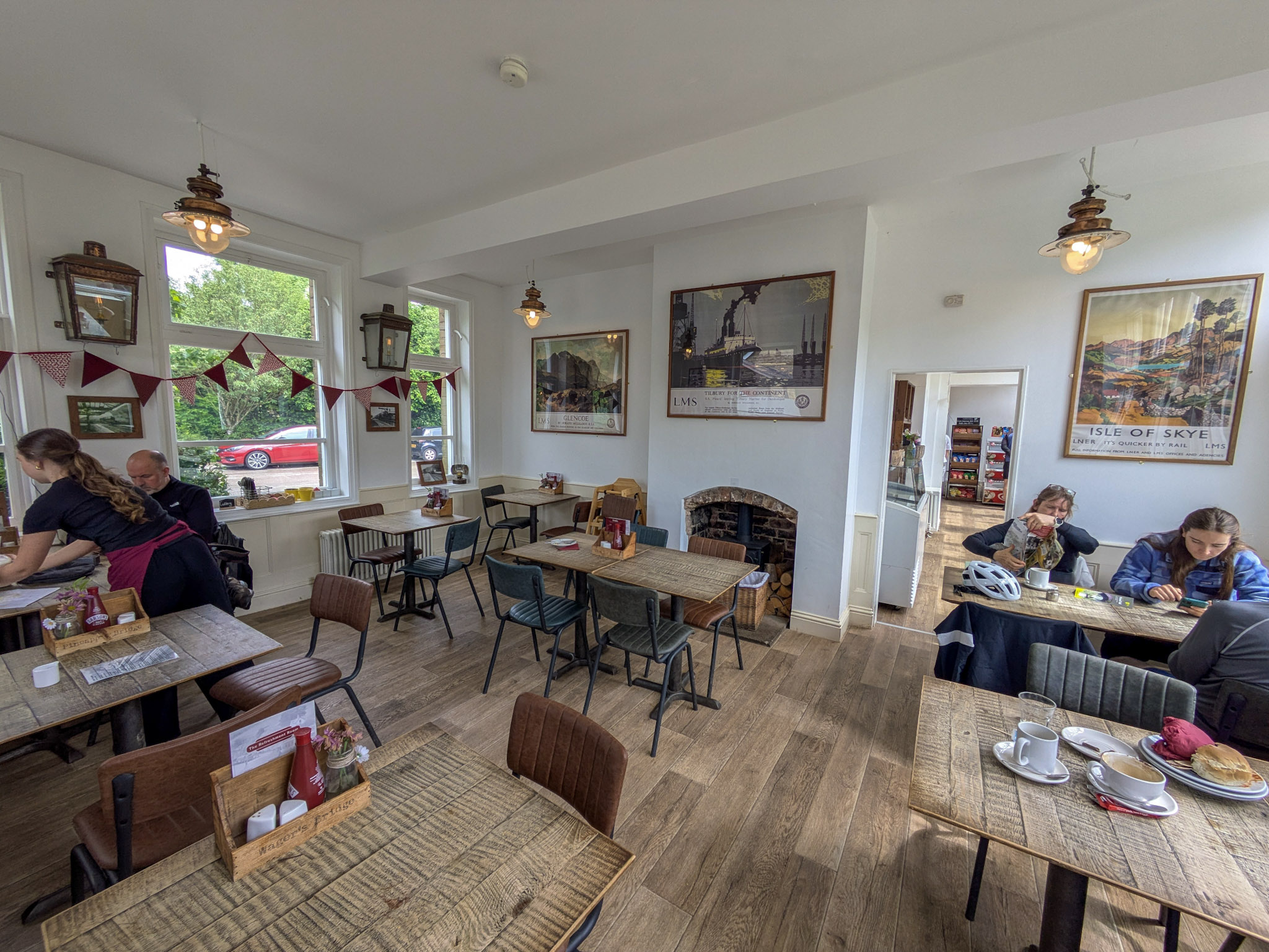
They also sometimes have a really good selection of ice creams. So, you could just, you know, eat all the ice cream you want here and call it a day… What? Fine, suppose we’ll crack on.
Continuing On The Trail
All filled up on ice cream from The Refreshment Room? Great stuff! Let’s plod on. As you continue, the trail winds through some more of those luscious limestone valleys, and it all starts getting a bit more scenic. You’ll find trees over-arching the path, sections of wild flowers, and even a quiet detour through a nature reserve, should you choose to wander through it.
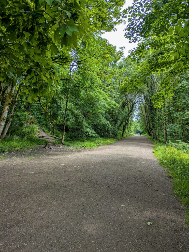
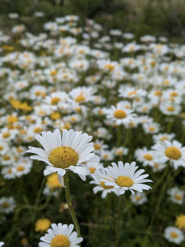
There are also benches dotted all along the trail where you can pause and take a break – often positioned to make the most of the views.
The Headstone Viaduct
Now here’s a bridge. At around mile 5, you’ll come across the Headstone Viaduct. It’s one of the most iconic landmarks on the Monsal Trail.
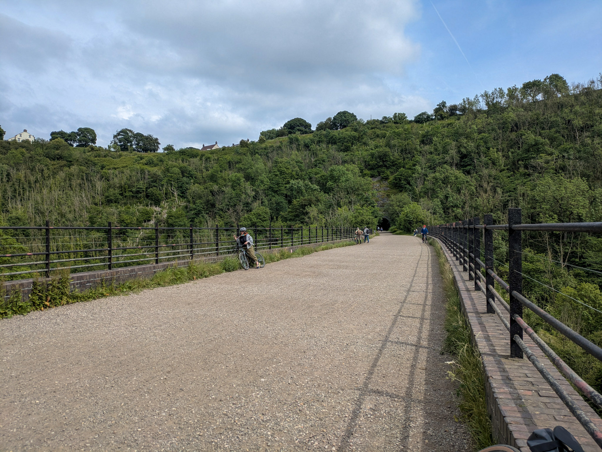
Constructed in the 19th century, it’s 300ft long with stunning views of the valley and distant hills on either side. I couldn’t help but stop here for a good 15 minutes to just take it all in.
You can even wander down off the trail to the fields underneath and sit by the river Wye, which would make an excellent spot for lunch if you’ve packed your own.
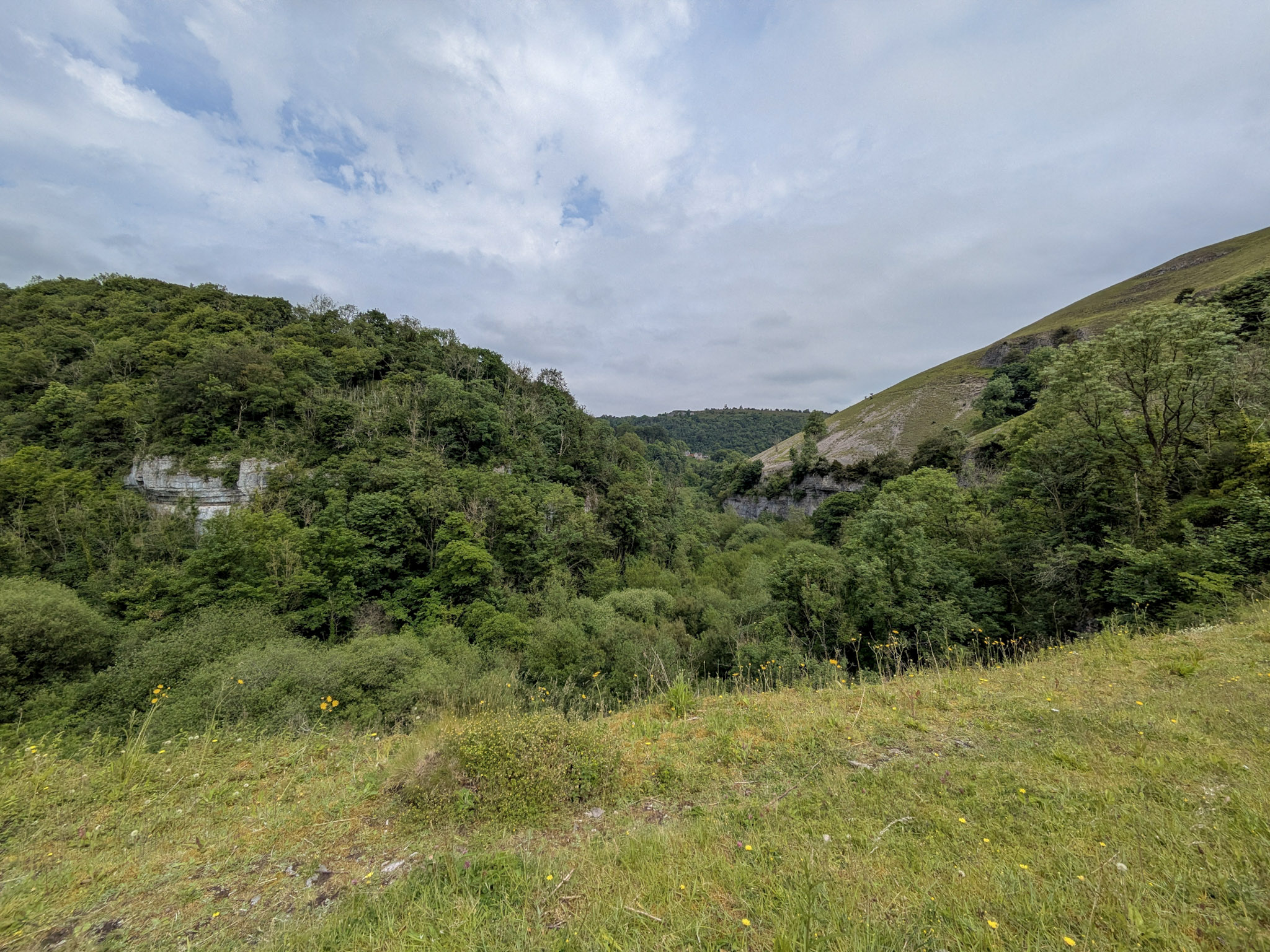
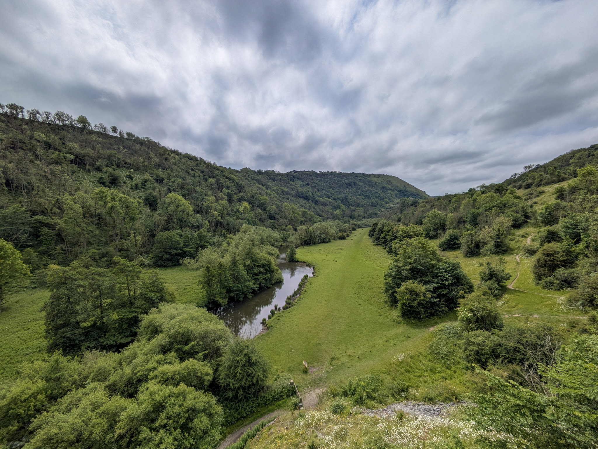
Right after the viaduct is the Headstone tunnel, I believe it’s the longest tunnel on the trail, coming in at almost 500 meters.
As you continue on the trail, you’ll also pass by Thornbridge Estate – but that deserves its own article, so we’ll come back to that one.
Hassop Station
Around mile 7, you will come across Hassop station. This is another major rest point like Millers Dale (but with free public toilets).
It also has parking (pay and display), and there’s a pizza food van that’s open on the weekends, doing stonebaked pizza (trust me to go on a weekday when it’s closed 🙄).
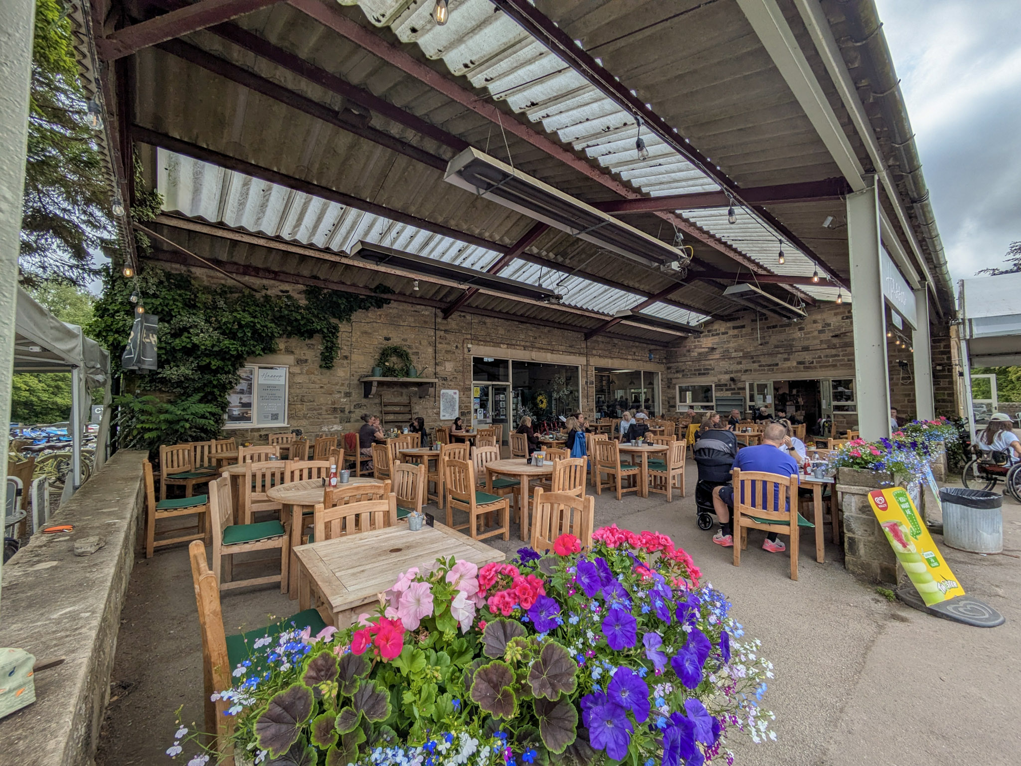
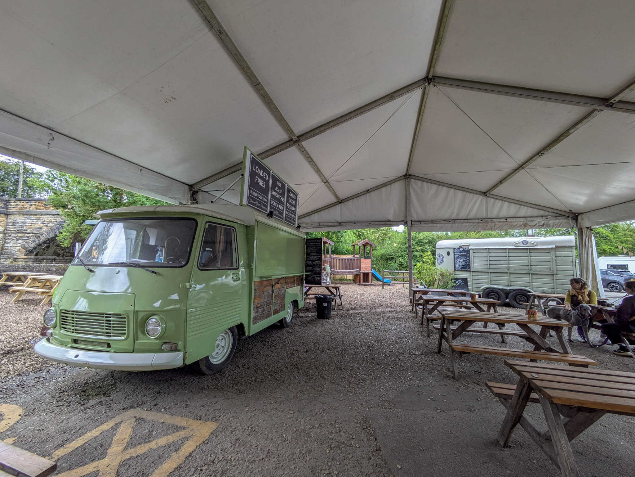
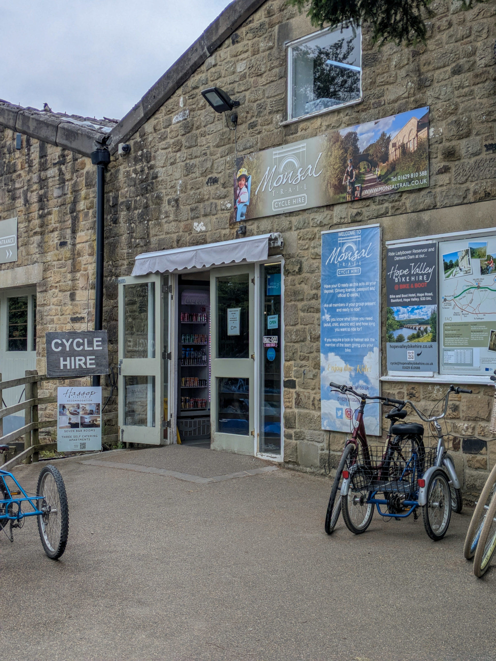
You can also hire bikes here, https://hassopstation.co.uk/, making it another strong contender for a starting location. It’s not technically at the end of the trail, but it is very near the end, and you know, pizza🍕👀.
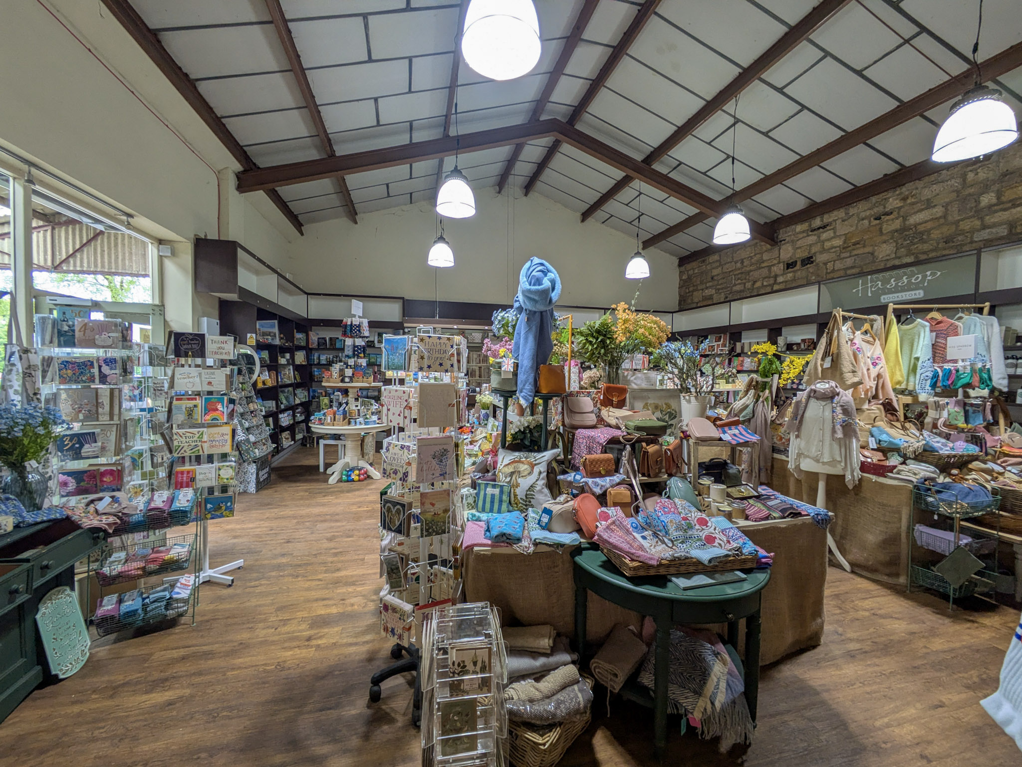
Inside the station itself, you will find a fairly large gift shop and a cafe that was very busy, so I didn’t hang about too long. It also has indoor and outdoor seating areas, and places to leave your bike if you’re cycling.
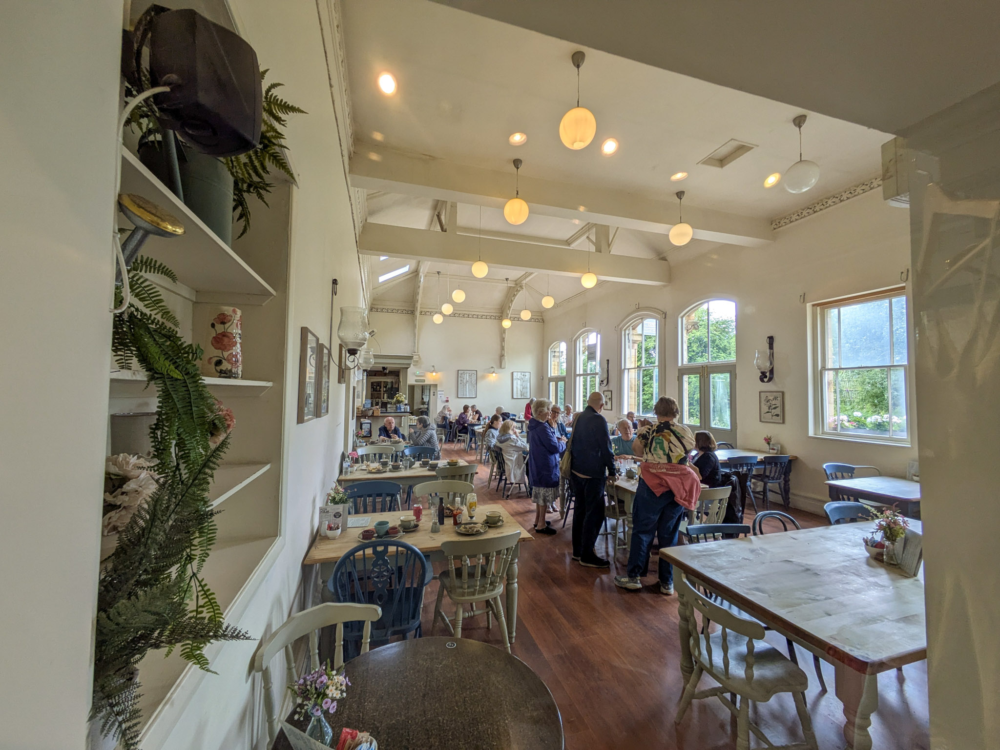
We’re on the home stretch now, let’s crack on.
Bakewell Station
Just before you reach the end of the trail, you’ll find Bakewell station. There really isn’t much to report on here. As far as I could tell, the station is all locked off to the public (or I’ve been a bit of a div and couldn’t find the entrance). It does have parking though, pay and display, same as all the other stations.
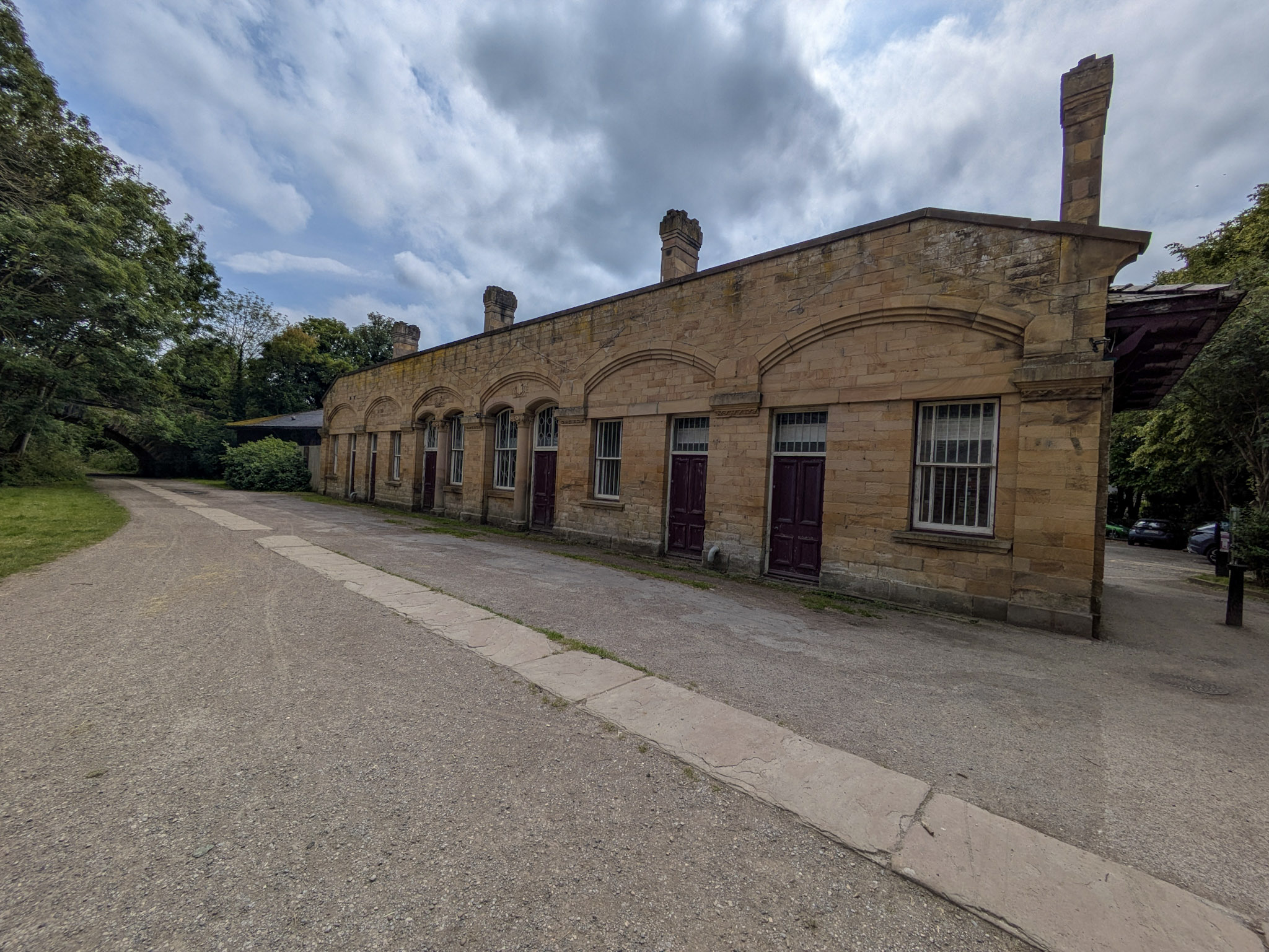
The End Of The Line
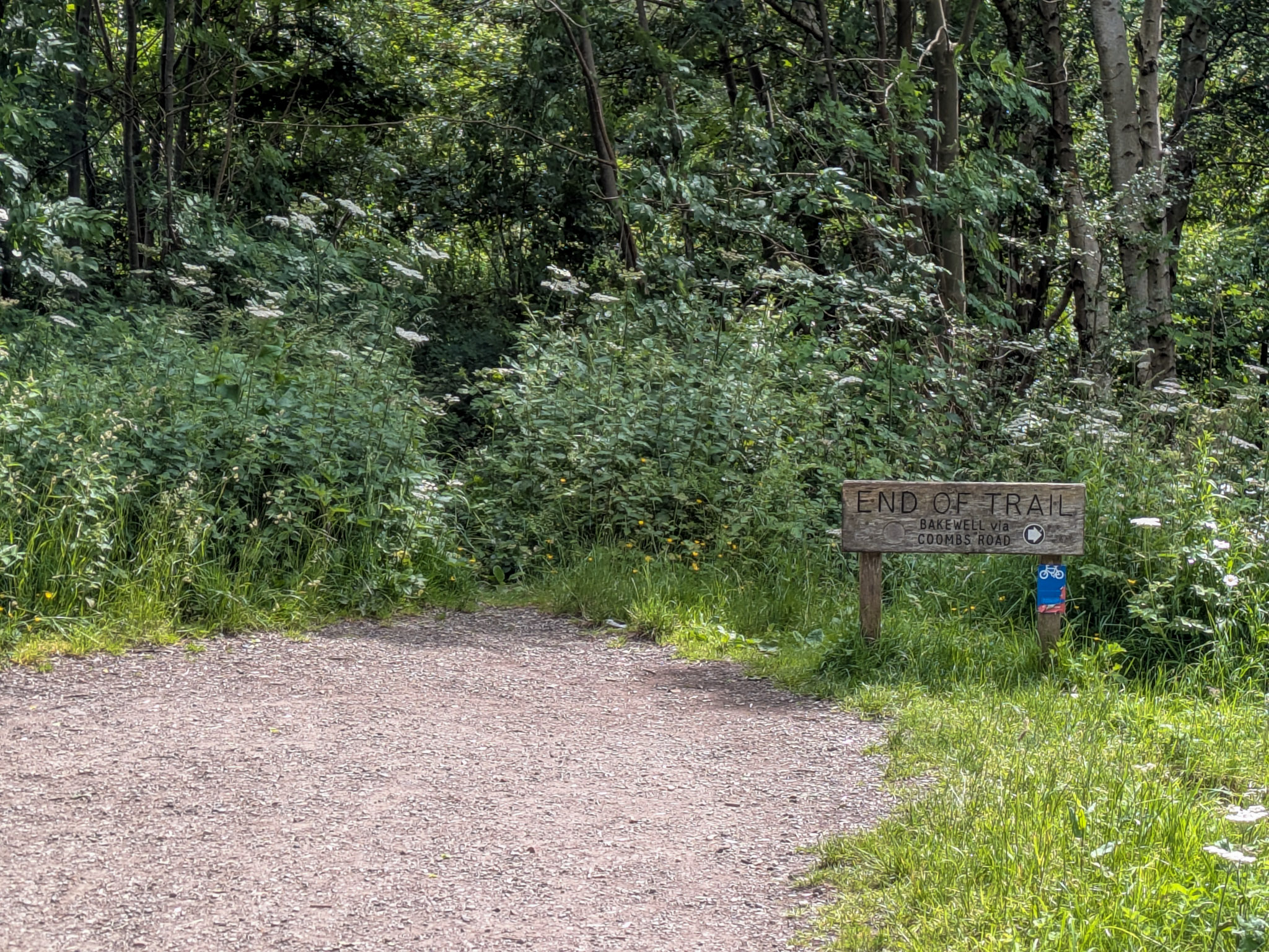
8.5 miles later and you’ve reached the end! Give yourself a pat on the back. Now you get to turn around and do it all again 😀. No, really, well done. This is a long walk, and you’ve definitely earned an ice cream on the way back. To the right of the sign (see the image) is a footpath that leads down to Coombs Road, which is where you would come from if you chose to start the walk from Bakewell.
Frequently Asked Questions
How long is the Monsal Trail?
The Monsal Trail is 8.5 miles (13.67km) in length. Out and back, it is 17 miles (27.34km).
Where does the Monsal Trail start and finish?
The Monsal Trail runs from Bakewell (near Coombs Road) to Chee Dale. It can be started from either end, or even from Wyedale, as there is a path leading onto it from the car park.
What is the Monsal Trail?
The Monsal Trail is an 8.5-mile former Victorian railway line in the Peak District that runs from Bakewell to Chee Dale. It has been converted and is managed by the Peak District National Park Authority for use by walkers, cyclists and horse riders.
How long does the Monsal Trail take?
Walking the full trail one way takes about 3–4 hours at a relaxed pace. Walking the trail out and back takes around 6–8 hours, including a short break.
Cycling the full trail one way takes about 1–1.5 hours. Cycling out and back takes around 2.5–4 hours, including a short break.