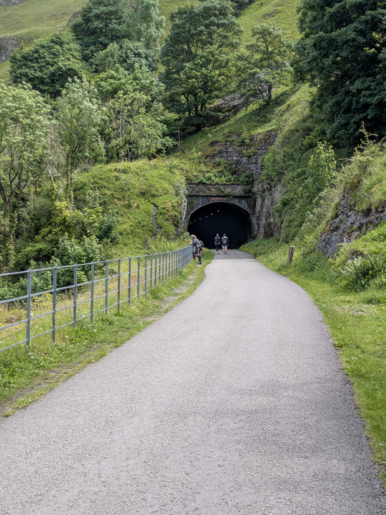
Goyt Valley: A Scenic Reservoir Circular Walk & A Short Hike
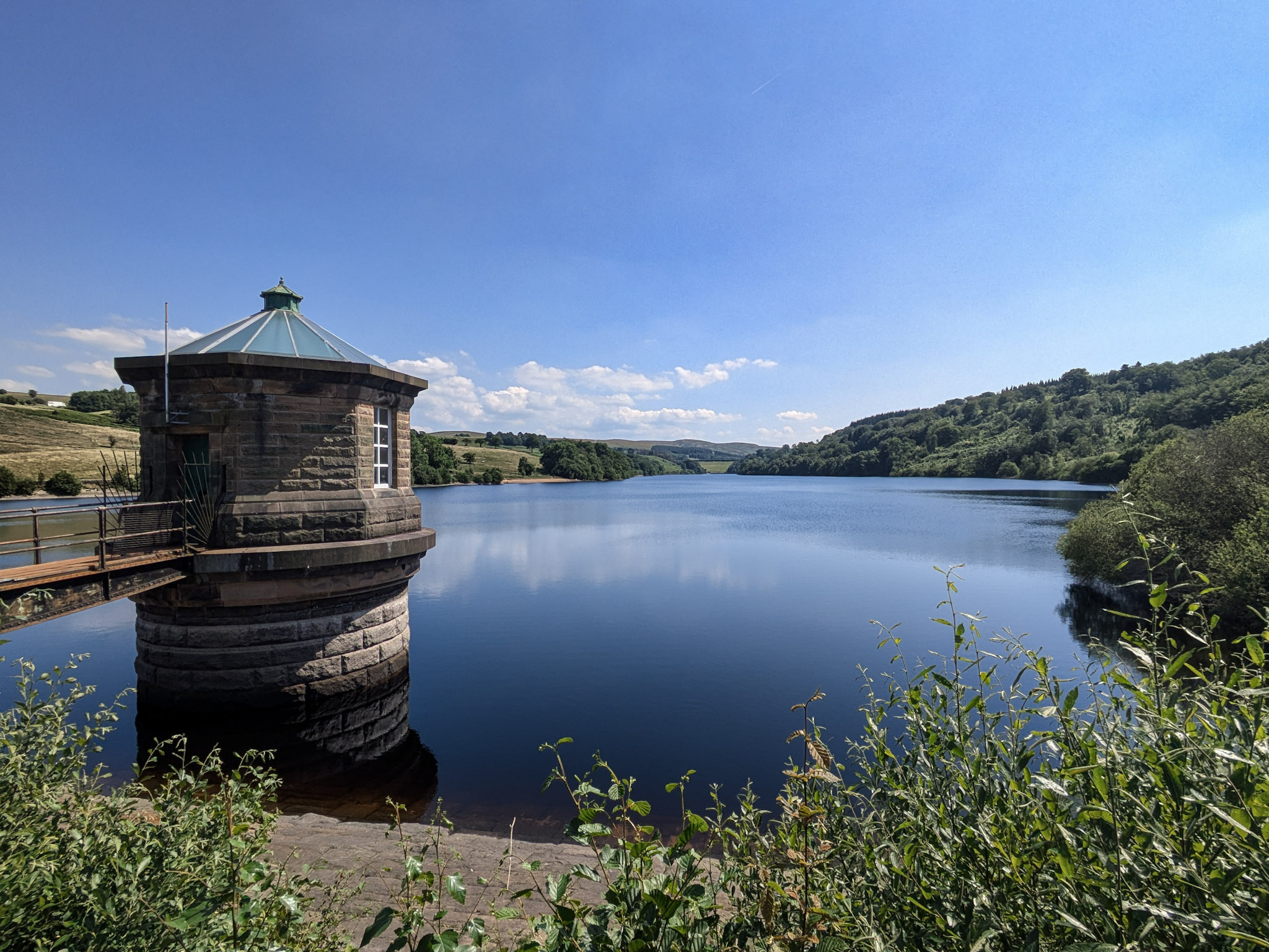
Goyt Valley is definitely one of those places in the Peak District that doesn’t get enough attention. A bit of a “hidden gem” if you allow me the cliché.
Just outside the town of Buxton, you’ll find an area thriving with greenery and wildlife, as well as a woodland alongside its two resident reservoirs, Errwood (upper) and Fernilee (lower).
In this article, I’ll take you through two walks you can start from Goyt Valley. The first is a scenic 2.59-mile loop around the reservoir, and the second is a short (but steep) 3.20-mile hike up to Foxlow Edge.
Getting There & Parking
The road to Goyt starts on Long Hill. It’s a picturesque 5-mile stretch between Buxton and Whaley Bridge, and it’s one of the most scenic drives in the Peaks if you ask me, on par with Snake Pass (though it’s been plagued by average speed cameras in recent years, so keep an eye out!).
The two most common ways to get directly into Goyt Valley are both accessed via Long Hill.
Goyt Valley Primary Parking
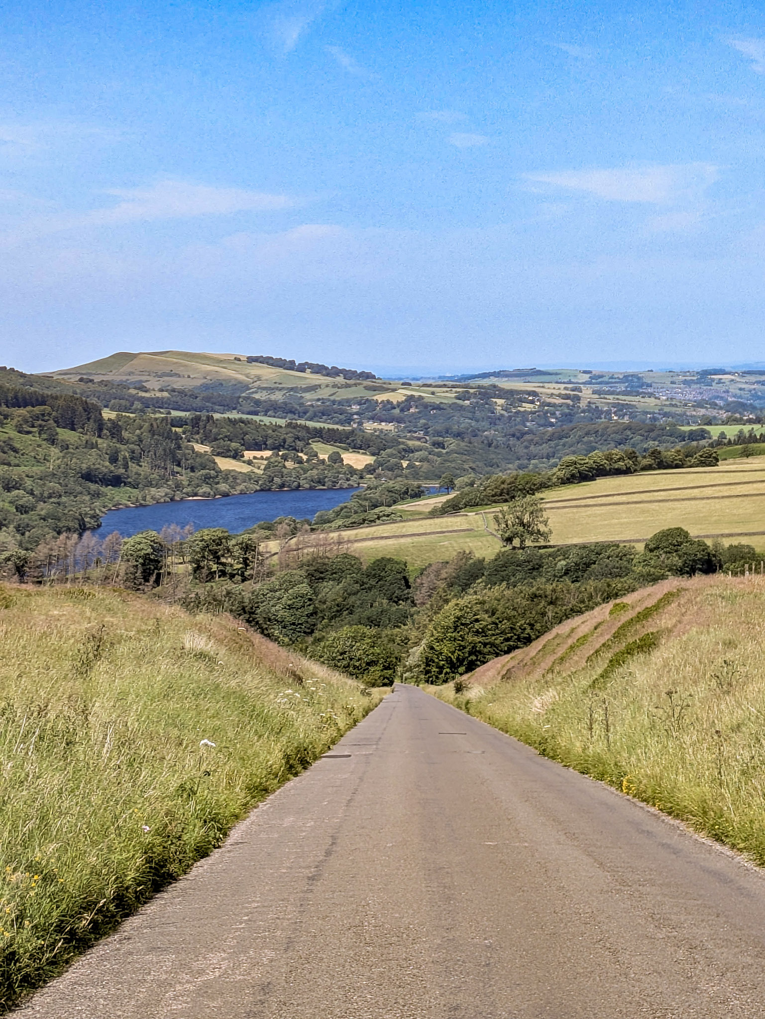
The main parking option is right near the Buxton end. You’ll find a road (Goyt’s Lane) that leads you down a steep descent into the heart of the valley, taking you right between the two reservoirs.
There are several places to park off the road before you reach the reservoirs, as well as a large car park just beyond the dam (all free).
Location
what3words: dwelled.geologist.bandwagon
Postcode: Goyts Ln, Buxton SK17 6SX
Goyt Valley Alternative Parking
The second parking option is located near the Whaley Bridge end.
It’s quite easy to drive past this as it looks like a private road leading off into the woodlands – but it’s just on your right after The Shady Oak pub if you’re driving from Whaley Bridge.
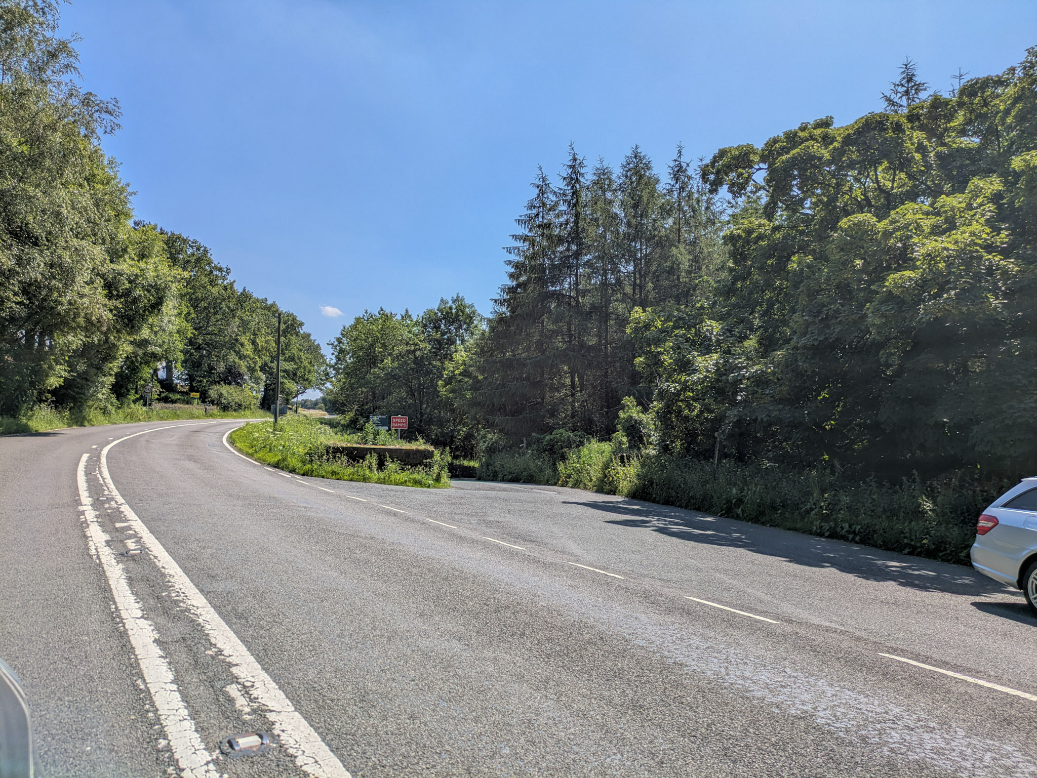
This will eventually lead you down to the lower of the two reservoirs known as Upper Goyt Valley (yes, for one reason or another they decided that calling the lower reservoir area “upper” made more sense).
Here you’ll find about 8 parking spaces before the dam and a small area fit for about another 3 cars just after it (all free).
Location
what3words: modem.cheering.showcase
Postcode: Upper Goyt Valley, High Peak SK23 7EA
You can also walk to Goyt Valley directly via public footpaths from the two neighbouring towns (Buxton & Whaley Bridge), which have excellent public transport connections. So all in all, pretty accessible.
Walk 1 (Beginner): Goyt Valley Reservoir Circular (2.59 miles)
The first walk is your classic reservoir circular that we all know and love.
On one side, you’ll be walking through an enclosed and overgrown woodland area, immersed in a chorus of birdsong and the sound of running water from the reservoir’s feeder streams.
On the opposite side, it feels a bit less wild and more maintained. You’ll be walking along an open, more road-like, paved surface, which I think was designed with cyclists in mind, though it’s still incredibly scenic on either side.
If it’s a particularly wet and muddy day, you might prefer to just walk along the paved side and then turn back on yourself if you don’t fancy tackling the woodland part.
You can start this walk at either end of the reservoir, with parking options on both sides (Goyt Valley Primary Parking and Goyt Valley Alternative Parking). That said, my go-to has always been starting from the alternative parking side at Upper Goyt.
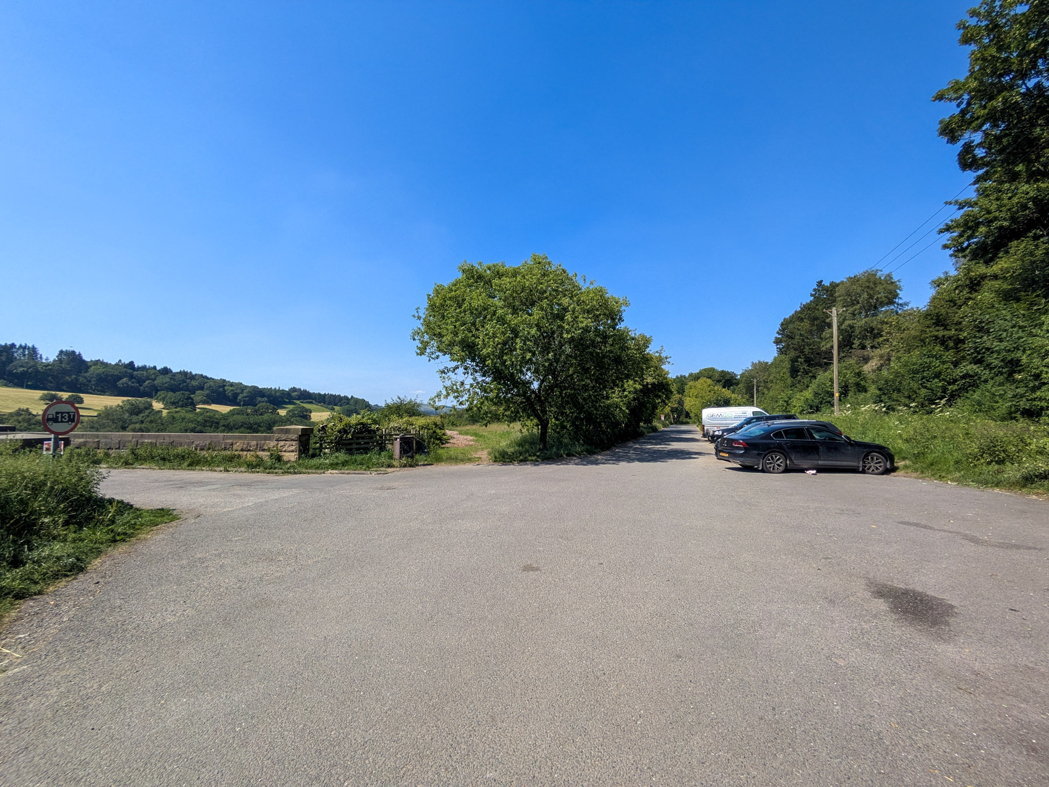
You’ll want to walk across the dam, then take a left at the end.
Not long after crossing the dam, you’ll come across a gate (also on your left) that takes you off the road and into a woodland trail.
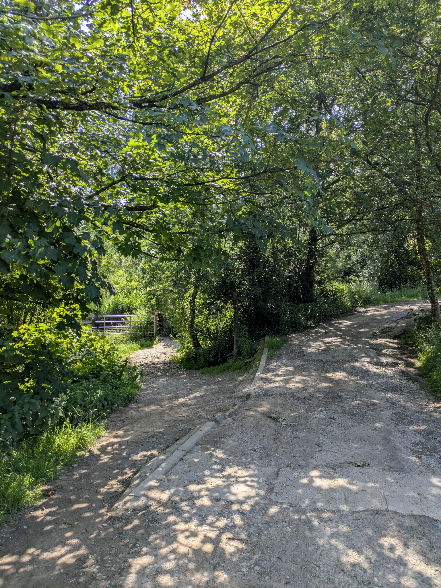
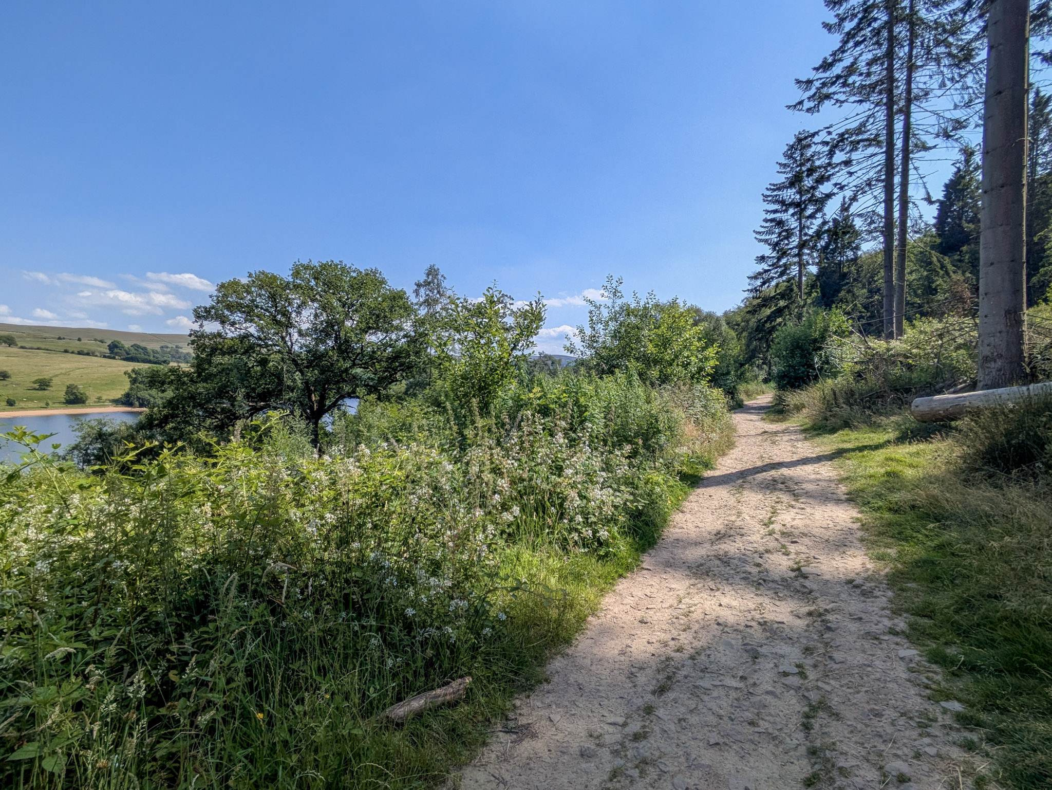
As you continue, you’ll eventually approach a fork in the trail.
You can make a choice here, either carry on straight or veer off down some steps to the left.
Both paths eventually lead to the end of the reservoir and offer a way to loop back around to the other side.
So, what will it be?
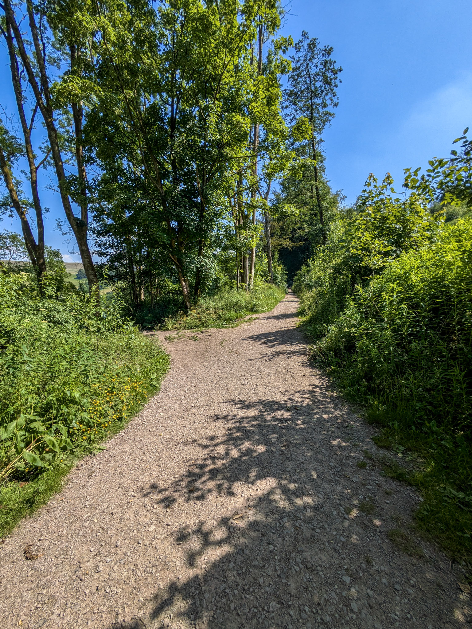
If you said left – well done! That is the right choice!… What? You thought this was an unbiased blog? Pssh…
Look, both routes are incredibly scenic, so it feels wrong to say one is more scenic than the other, but you’ll just have to trust me on this one.
The left option takes you along an overgrown trail and eventually down to a bridge right by the water. It’s definitely my favourite route around but I’ll leave it up to you to decide on the day…
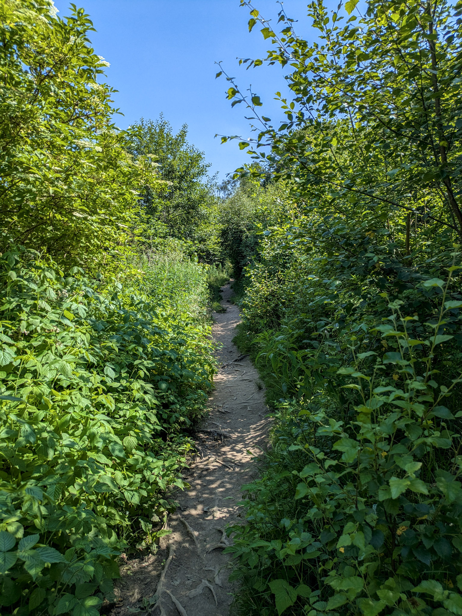
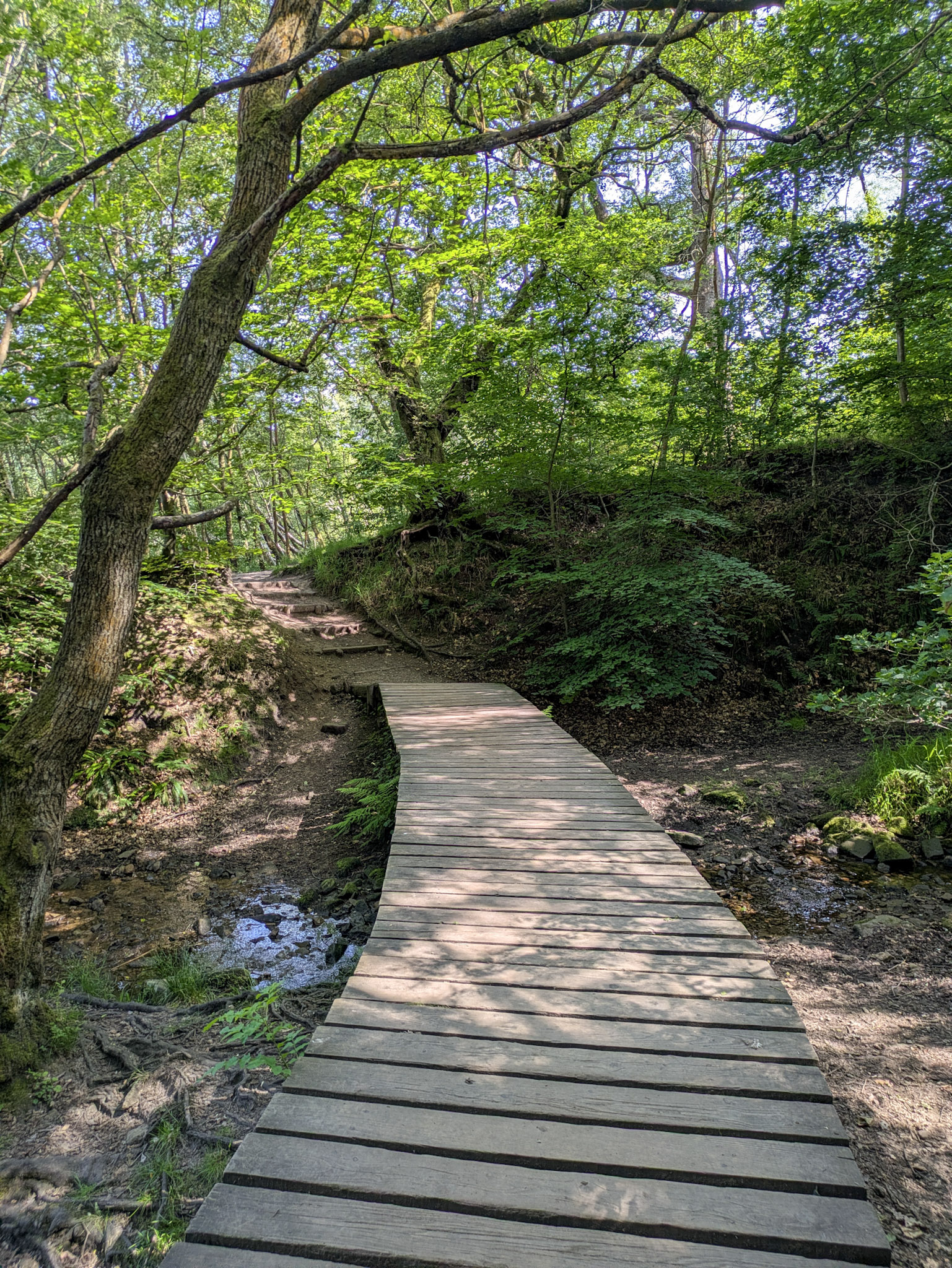
As you approach around the mile-and-a-half mark, you’ll find some more steps taking you off to the left once again, this time into an open field – this can be thought of as the halfway point if you like. You’ll be making your way back along the paved part from here.
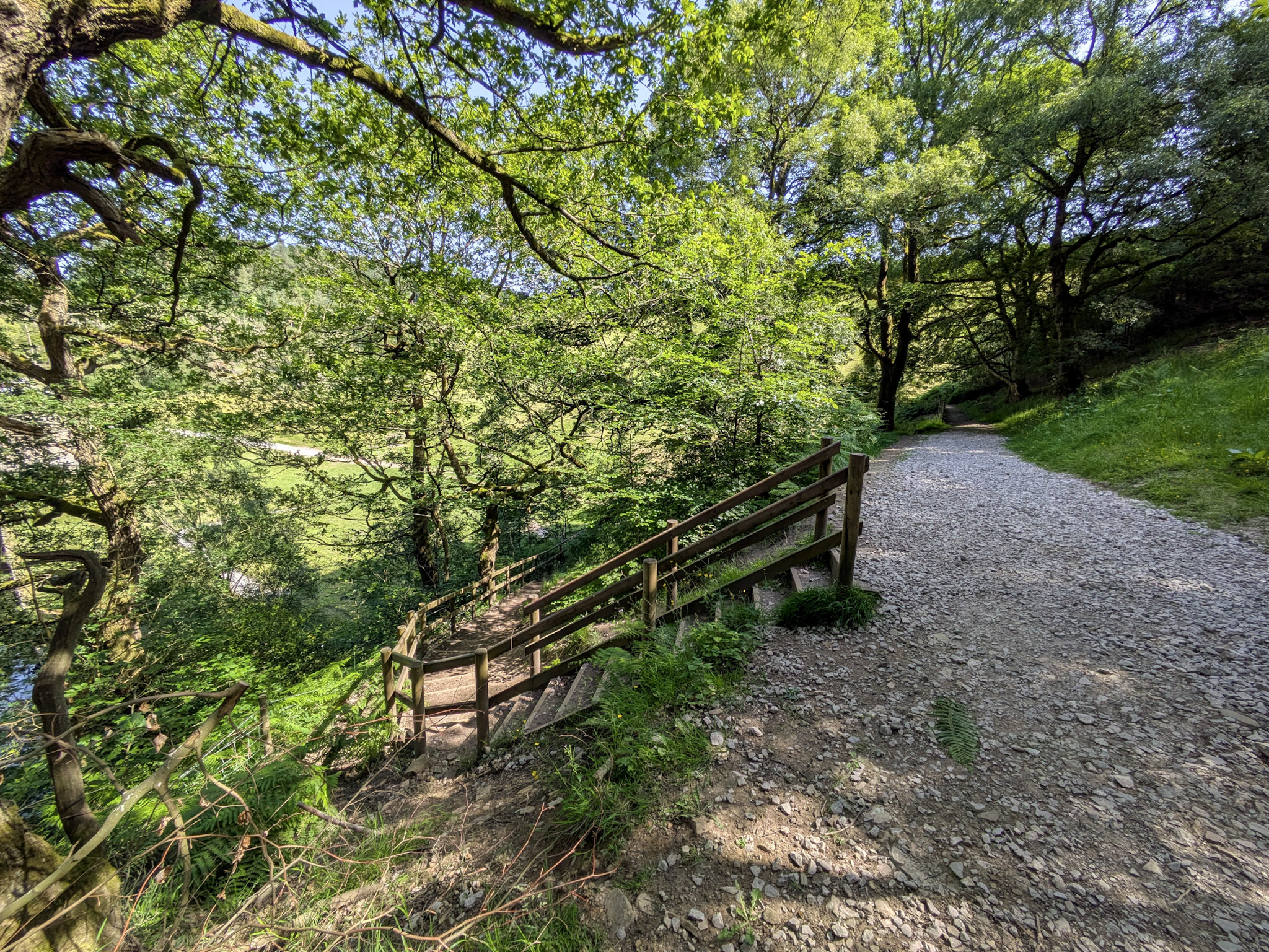
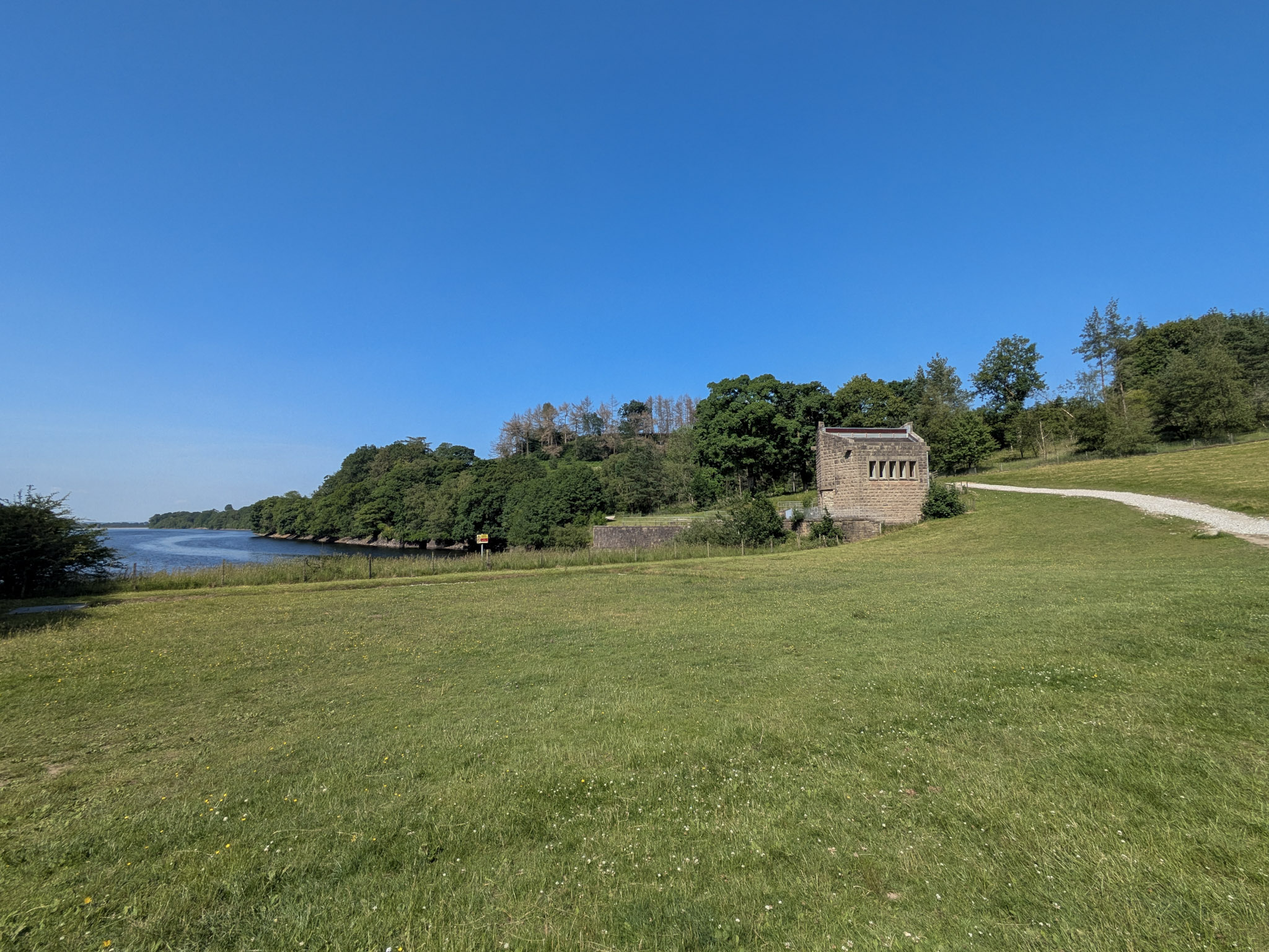
Also, not really relevant to anything, but these steps never used to be here. I have not so fond memories from my youth of carefully traversing a muddy hill to get down to this field, and almost always ending up on my arse en route to the bottom…
Anyway, as you make your way back you’ll have much better views of the reservoir on this side as you’ll be walking right alongside it. There are also more benches here on this side overlooking the water.
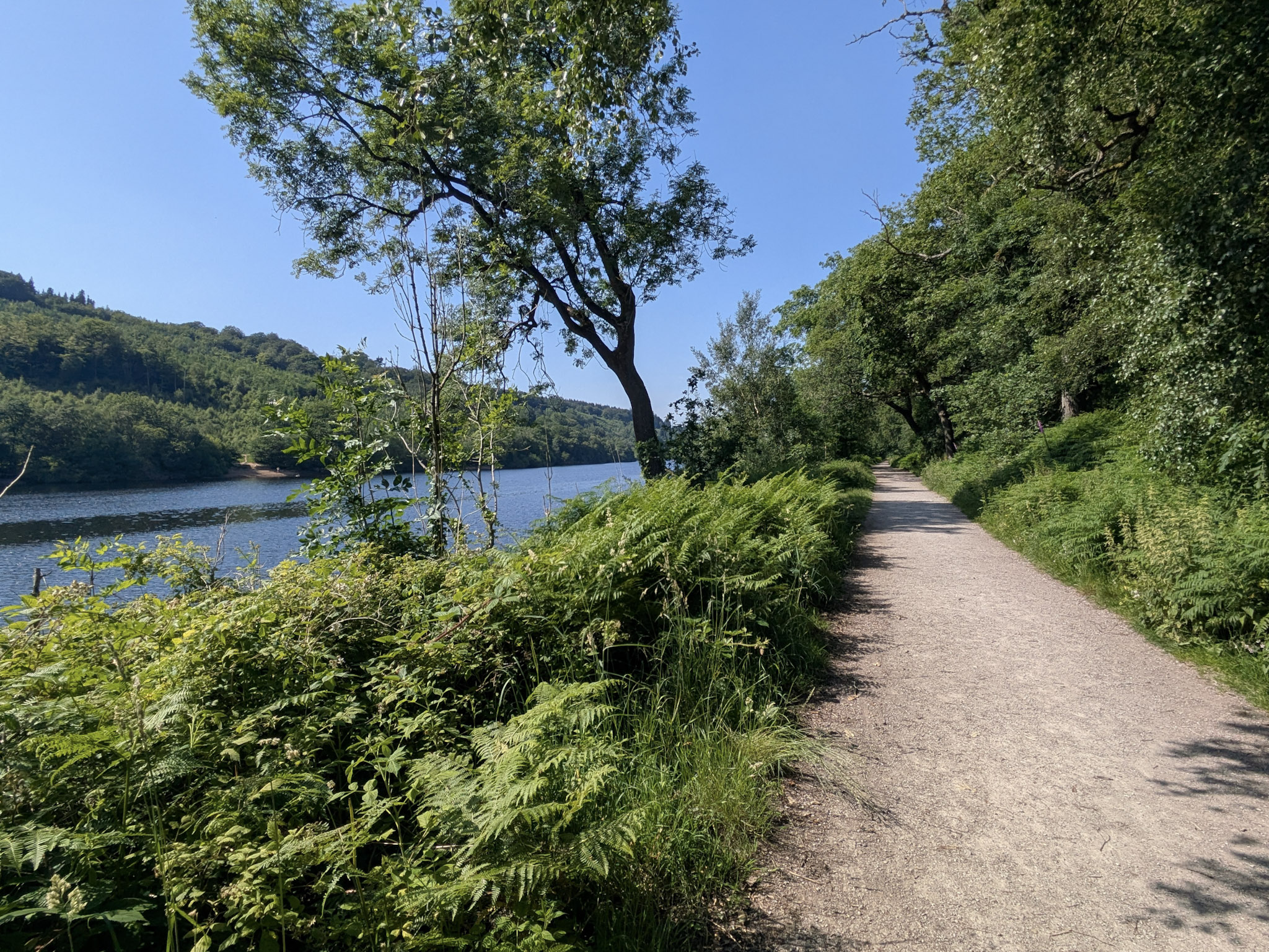
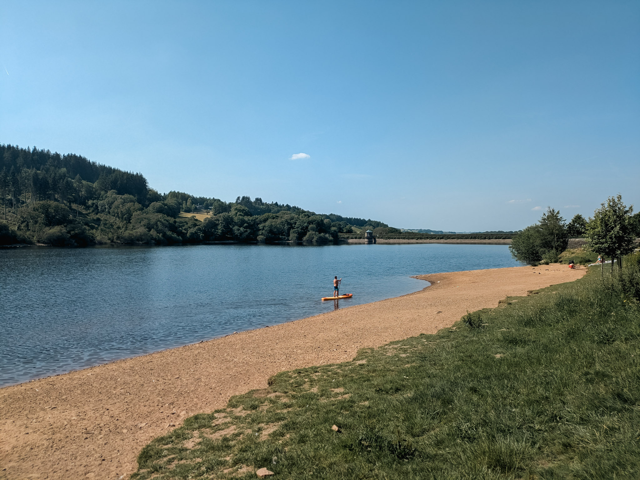
It’s pretty much this the whole way back. However, just before you reach the car park again you’ll come across a bit of a beach area that’s worth a stop.
There was a fella paddleboarding while I was there, which was nice to see someone enjoying the water.
I’m not sure on the rules around wild swimming and water activities here – if you do decide to take part though please look after yourselves!
Walk 2 (Intermediate): A Short Hike To Foxlow Edge From Goyt Valley (3.20 miles)
Walk two switches things up from a casual stroll around the reservoir. Right out the gate you’re met with a fairly steep hill climb for about 3/4 of a mile to the summit of Foxlow Edge.
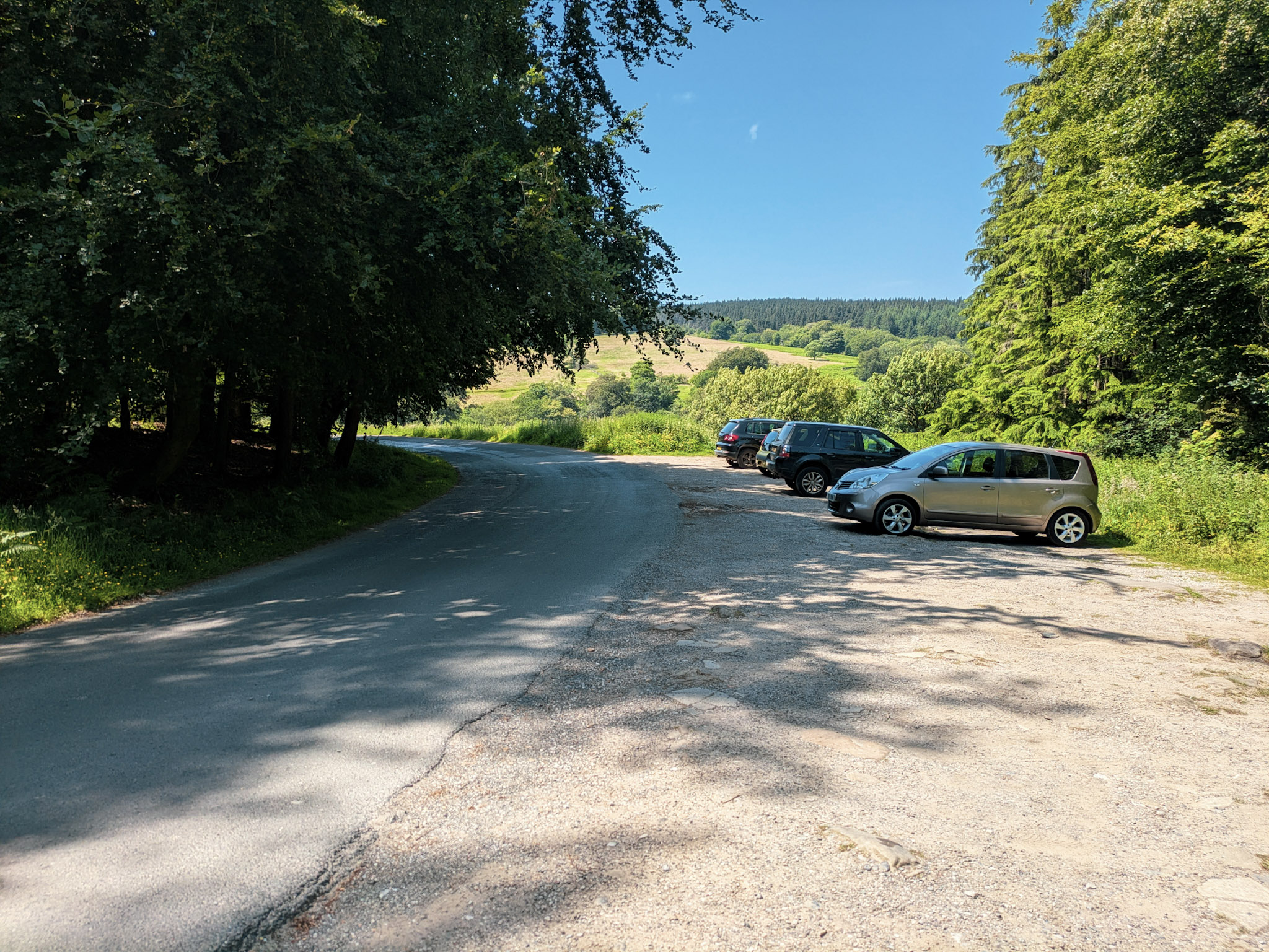
You can start this walk from anywhere that you can find a parking space in the primary parking area of Goyt.
I happened to park on the right just before you arrive at the dam crossing.
We’ll be walking alongside Errwood reservoir at the start of this walk. There are plenty of benches on the embankment to your right if you want to sit and watch over the water for a bit.
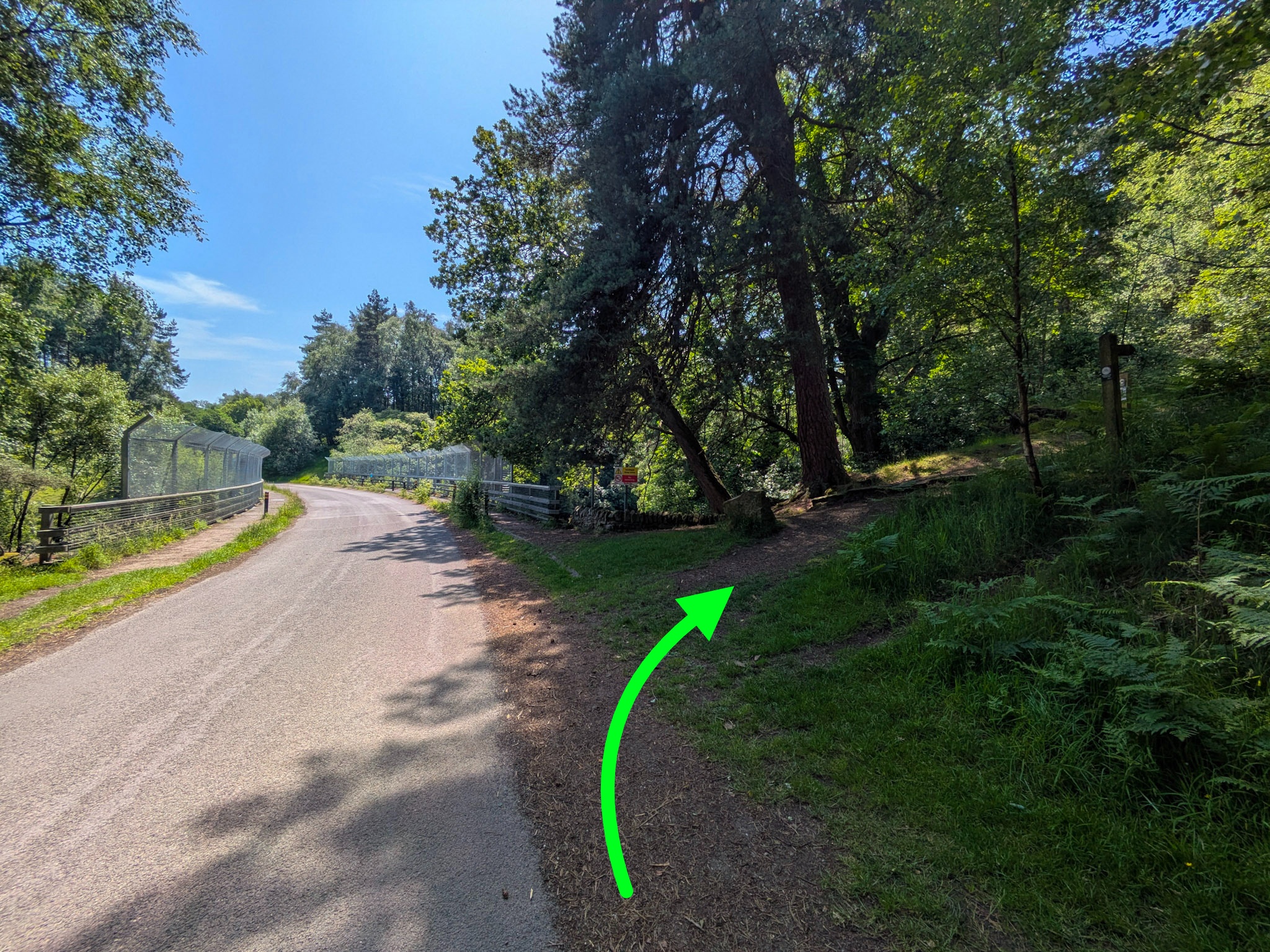
It’s going to feel a bit like you’re walking out of Goyt. That’s normal. Just keep plodding on down the road until you get to this bridge.
At which point veer off to your right up that footpath (see image).
Now a bit of a heads up, this does become quite a steep hill climb… If you’re a bit of a “peak bagger” then it’ll be a breeze and you can have a laugh at me for even calling this a hike. If however you’re more into your casual strolls, this may feel quite difficult.
Go at your own pace and make sure to stop for a breather or two if you need it. There are many overarching trees along the path, providing some shade in the rare case you catch yourself out on a sunny day as I did.
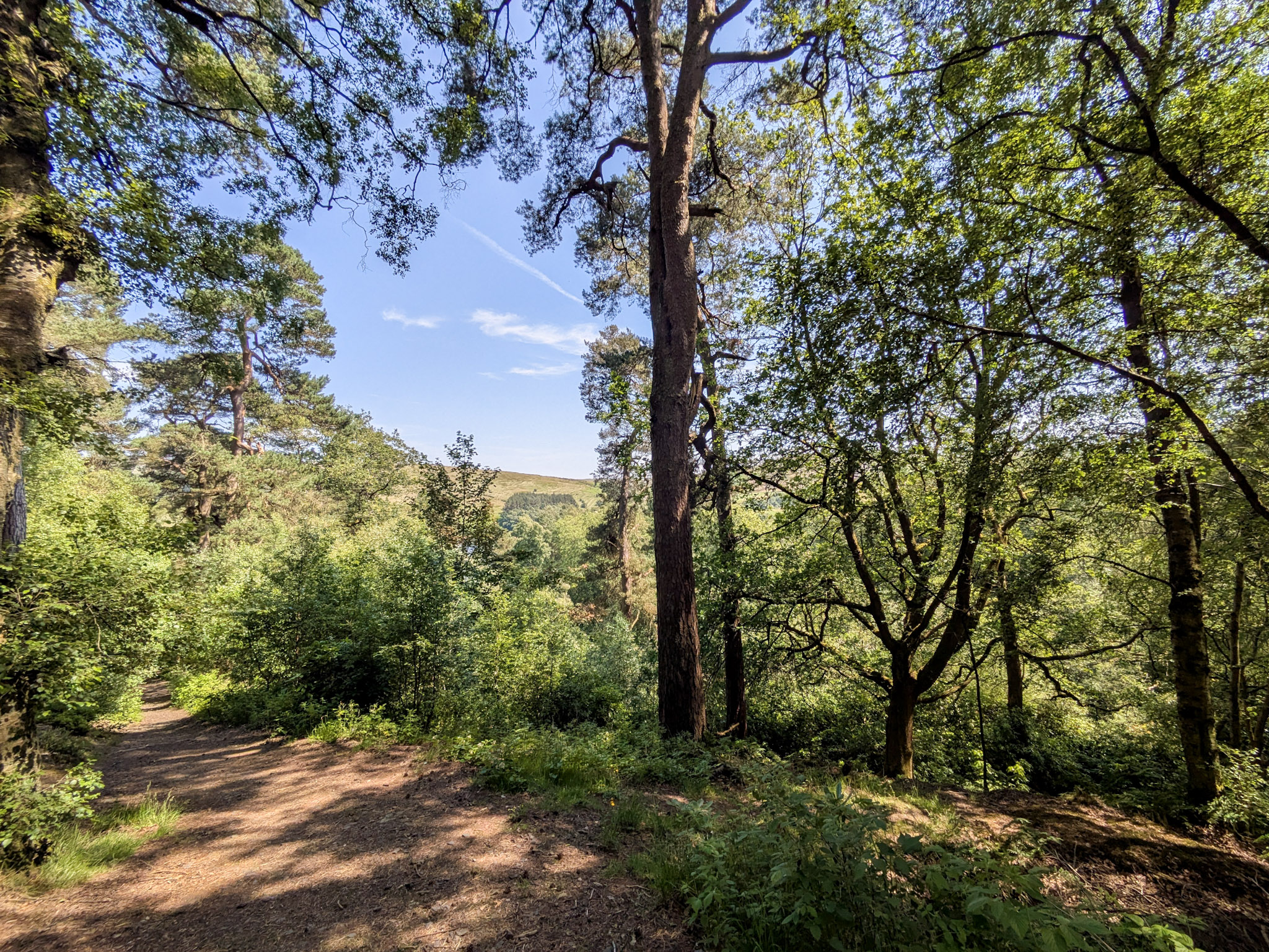
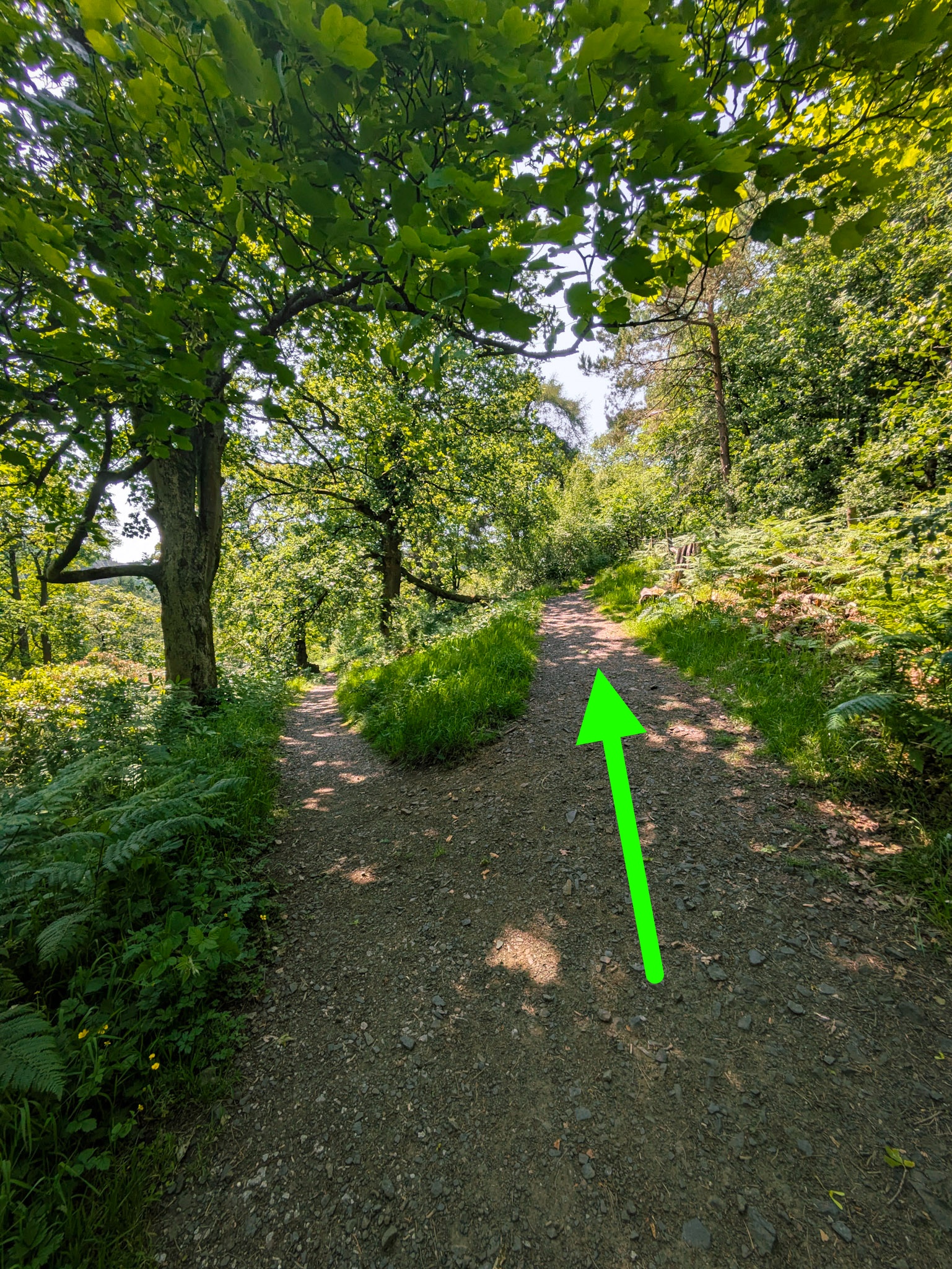
You’ll come across a fork and several other side-trails that lead you off this uphill climb.
As tempting as they look, stay on this main path (I know, it’s got a pretty decent view to make up for it though!)
As you continue the climb you’ll notice everything starts to open up the higher you get.
What started as a more enclosed woodland trail now offers views of the surrounding hills blanketed in pine and spruce forests.
Just as things start to flatten out near the top, you’ll notice a bit of a gap in the wall on your left, exposing some rock ledges. I highly recommend walking through that gap to take in the stunning panoramic views for a moment (it’s also an excuse to take a breather).
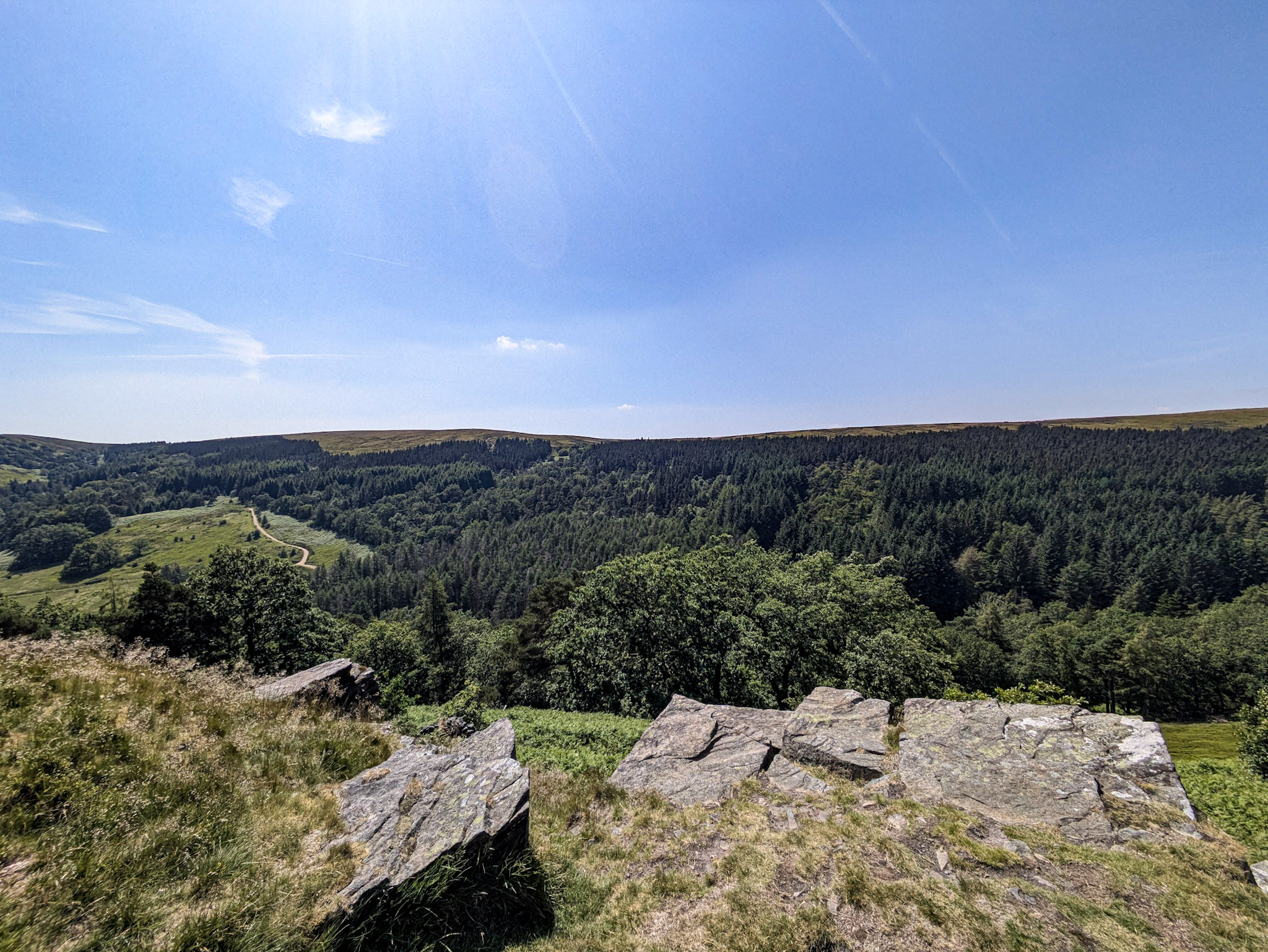
At this point you’re basically at the summit. I couldn’t find a trig point or anything to mark it, but I’m a bugger for walking straight past them… so you might find something.
You’ll also be glad to know it’s all downhill from here!
If you keep walking basically straight, you’ll find a path that leads you down to a gate opening up to a country road.
Follow this road down (you can walk off the road, as there is a trail to the left of it), and eventually you’ll end up back down near the reservoirs and the main car park.
Catching A Sunset
Any sunset chasers out there? Well, Long Hill offers one of the more memorable ones. I’ve had to pull up a number of times to watch it set over the distant hills across the valley.
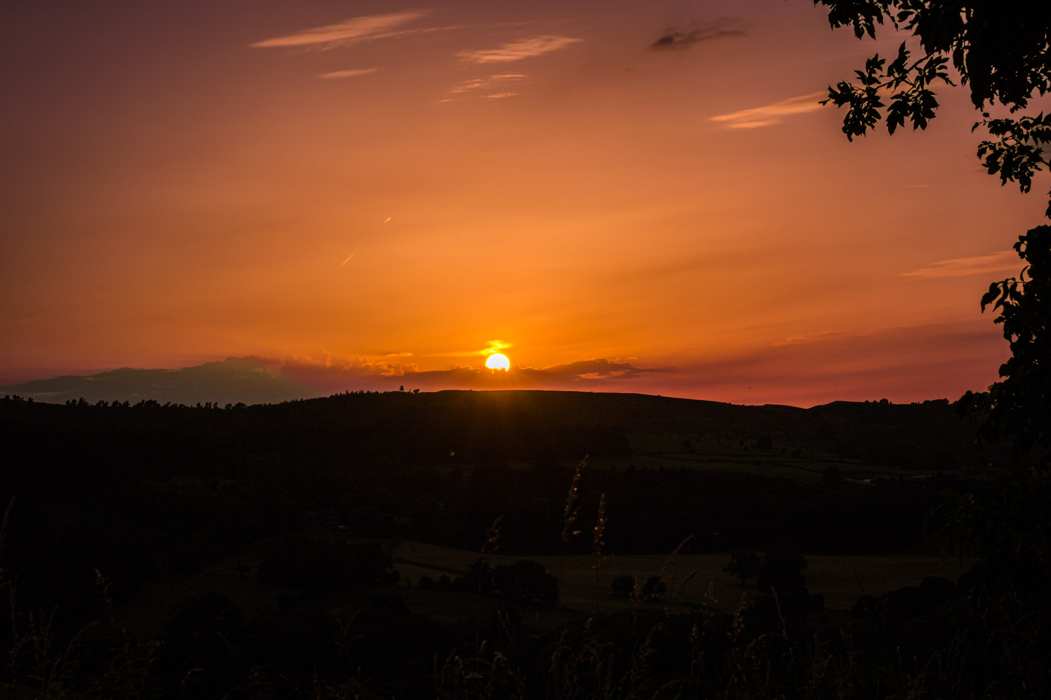
The shot above was taken with my Canon 750D on a nifty fifty at this particular layby (see Google Maps embed).
You’ll want to get here at least 20 minutes early for the best chance at a shot as it often likes to hide behind the hills about 10 minutes before official sunset.
Van Life & Car Camping
There are “no overnight parking” signs at Goyt Valley, and I’ve never chanced parking there myself so I can’t say if you’d get the dreaded knock at 1 am or anything like that.
I know the layby where I took the sunset picture above is a common overnighting spot, but it isn’t really flat. There is also another fairly big layby further down towards the Whaley Bridge end, which is again on a slight incline but I have also come across the odd camper there.
Personally if it were me, I’d drive further out into the sticks away from Long Hill entirely and look for somewhere a lot quieter (and flatter), but I don’t think you’d get any bother at the laybys if you wanted to be nearer to the reservoir.
Frequently Asked Questions
Where is Goyt Valley?
Goyt Valley is located in the Peak District, Derbyshire, just outside the town of Buxton. It’s accessible via Long Hill (the A5004), a scenic road connecting Buxton and Whaley Bridge.
Is Goyt Valley open today?
Goyt Valley is open 365 days a year – it’s an open natural area with no gates or admission fees, so you can visit whenever you like.
Is Goyt Valley in the Peak District
Yes, Goyt Valley sits within the Peak District National Park, near Buxton. It sits in the northwestern corner of the National Park close to the Cheshire border.